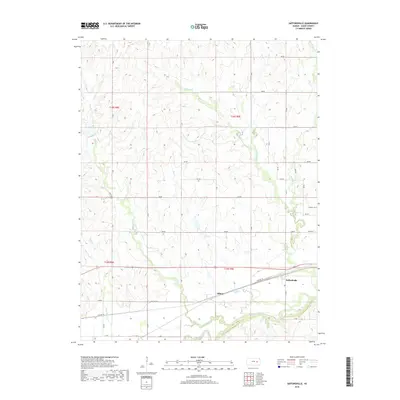
2018 Map of Saffordville
USGS Topo · Published 2018About this map
Saffordville and Ellinor anchor the southern reaches of this Chase County landscape, situated along the corridor established by Old Hwy 50. The area is defined by the winding course of the Cottonwood River, which forms the primary drainage for a network of tributaries including Buckeye Cr, Bull Cr, and Peyton Cr. The topography reveals a transition from the river bottomlands to the upland divides, where a regular grid of section roads like 290 Rd and Z Rd navigates the undulating terrain. A singular marker of local history, Hillside Cem sits perched above the valley of E Buckeye Cr. The map captures a moment of modern rural organization, where historic settlement patterns around the rail and road corridor meet the enduring agricultural uses of the Kansas prairie.
Find a feature on this map
36 named features on this map. Tap any name to fly to it.
Don’t see what you’re looking for? This feature index may not catch every label — zoom into the map to look around manually.
Map Details
Editions of this 2018 Saffordville Map
This is the sole edition of this map. No revisions or reprints were ever made.
Other maps of this area

1885 · Eskridge
USGS Topo · 1:125,000

1888 · Emporia
USGS Topo · 1:125,000

1889 · Parkerville
USGS Topo · 1:125,000

1889 · Eskridge
USGS Topo · 1:125,000

1894 · Emporia
USGS Topo · 1:125,000

1894 · Eskridge
USGS Topo · 1:125,000

1894 · Parkerville
USGS Topo · 1:125,000

1898 · Cottonwood Falls
USGS Topo · 1:125,000

1955 · Hutchinson
USGS Topo · 1:250,000

1957 · Strong City
USGS Topo · 1:24,000