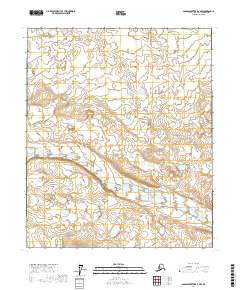
2017 Map of Sagavanirktok B-2 NW
USGS Topo · Published 2017About this map
Echooka River meanders across this northern landscape within the North Slope, defining the drainage patterns of an area characterized by its network of lakes and braided river channels. This 2017 survey captures the Arctic terrain before any significant industrial footprint or permanent settlement was established in these specific townships. The map provides a precise layout of the public land survey system, covering portions of t2n r16e, t2n r17e, t1n r16e, t1n r17e, t1s r16e, and t1s r17e. The topography revealed here is essential for understanding the seasonal water movements and permafrost features typical of this high-latitude environment.
Find a feature on this map
7 named features on this map. Tap any name to fly to it.
Don’t see what you’re looking for? This feature index may not catch every label — zoom into the map to look around manually.
Map Details
Editions of this 2017 Sagavanirktok B-2 NW Map
This is the sole edition of this map. No revisions or reprints were ever made.
Other maps of this area

1951 · Sagavanirktok D-5
USGS Topo · 1:250,000

1956 · Sagavanirktok
USGS Topo · 1:250,000

1958 · Sagavanirktok
USGS Topo · 1:250,000

1964 · Sagavanirktok
USGS Topo · 1:250,000
1971 · Sagavanirktok C-2
USGS Topo · 1:63,360
1971 · Sagavanirktok C-3
USGS Topo · 1:63,360
1971 · Sagavanirktok B-3
USGS Topo · 1:63,360
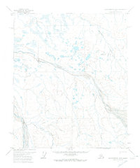
1971 · Sagavanirktok B-2
USGS Topo · 1:63,360
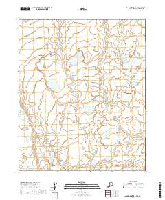
2017 · Sagavanirktok C-3 SE
USGS Topo · 1:25,000
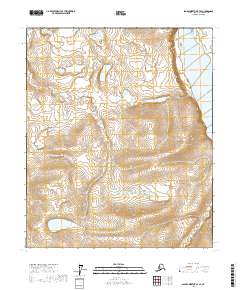
2017 · Sagavanirktok B-3 SE
USGS Topo · 1:25,000