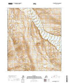
2017 Map of Sagavanirktok B-2 SE
USGS Topo · Published 2017About this map
The Echooka River cuts through this high-altitude landscape of the North Slope, flowing northward across the central sections of the quadrangle. The river’s path creates a distinct drainage pattern against the steep elevation changes that characterize this subarctic environment. Surveyed in 2017, the map documents the Public Land Survey System grid including segments of t1s r18e, t1s r19e, t2s r18e, and t2s r19e. This terrain is defined by its isolation and the intricate network of seasonal watercourses feeding into the main river channel, offering a detailed look at the hydrological layout of this part of Alaska’s interior before any significant modern infrastructure or development.
Find a feature on this map
5 named features on this map. Tap any name to fly to it.
Don’t see what you’re looking for? This feature index may not catch every label — zoom into the map to look around manually.
Map Details
Editions of this 2017 Sagavanirktok B-2 SE Map
This is the sole edition of this map. No revisions or reprints were ever made.
Other maps of this area

1951 · Sagavanirktok D-5
USGS Topo · 1:250,000

1956 · Sagavanirktok
USGS Topo · 1:250,000

1958 · Sagavanirktok
USGS Topo · 1:250,000

1964 · Sagavanirktok
USGS Topo · 1:250,000
1971 · Sagavanirktok A-1
USGS Topo · 1:63,360
1971 · Sagavanirktok B-1
USGS Topo · 1:63,360
1971 · Sagavanirktok A-2
USGS Topo · 1:63,360
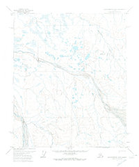
1971 · Sagavanirktok B-2
USGS Topo · 1:63,360
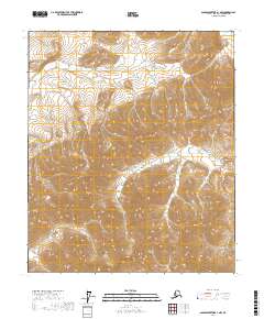
2017 · Sagavanirktok A-1 NW
USGS Topo · 1:25,000
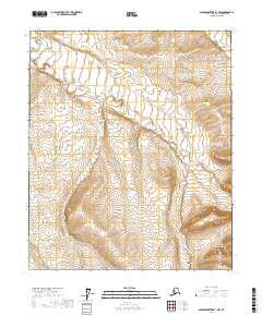
2017 · Sagavanirktok B-1 NW
USGS Topo · 1:25,000