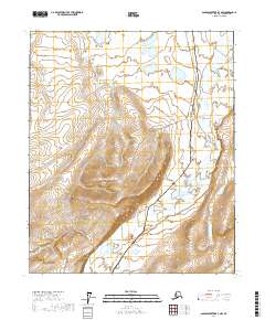
2017 Map of Sagavanirktok B-3 NW
USGS Topo · Published 2017About this map
The Sagavanirktok River meanders across this northern landscape, carving a wide braided channel through the Arctic coastal plain. This 2017 survey documents a critical intersection of natural hydrology and industrial infrastructure in the North Slope Borough. Running nearly parallel to the river's eastern bank, the Alaska Pipeline represents a significant feat of engineering, stretching through townships including t2n r14e and t1n r15e. The map illustrates the specialized terrain of the tundra, where the complex patterns of the riverbed contrast with the linear precision of the pipeline corridor. This document serves as a precise record of the land use and environmental state of this remote region during the early twenty-first century.
Find a feature on this map
8 named features on this map. Tap any name to fly to it.
Don’t see what you’re looking for? This feature index may not catch every label — zoom into the map to look around manually.
Map Details
Editions of this 2017 Sagavanirktok B-3 NW Map
This is the sole edition of this map. No revisions or reprints were ever made.
Other maps of this area

1951 · Sagavanirktok D-5
USGS Topo · 1:250,000

1956 · Sagavanirktok
USGS Topo · 1:250,000

1958 · Sagavanirktok
USGS Topo · 1:250,000

1964 · Sagavanirktok
USGS Topo · 1:250,000
1971 · Sagavanirktok B-4
USGS Topo · 1:63,360
1971 · Sagavanirktok C-3
USGS Topo · 1:63,360
1971 · Sagavanirktok B-3
USGS Topo · 1:63,360
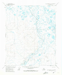
1971 · Sagavanirktok C-4
USGS Topo · 1:63,360
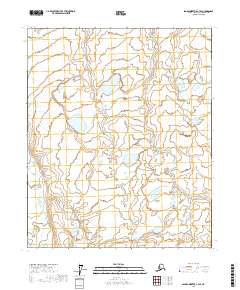
2017 · Sagavanirktok C-3 SE
USGS Topo · 1:25,000
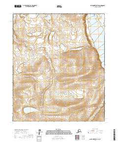
2017 · Sagavanirktok B-3 SE
USGS Topo · 1:25,000