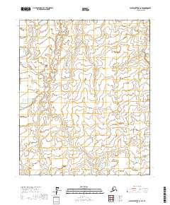
2017 Map of Sagavanirktok C-2 SW
USGS Topo · Published 2017About this map
The Kadleroshilik River cuts through the northeast corner of this Arctic terrain, defining a landscape dominated by complex hydrography and low-lying wetlands. Surveyed in the early 21st century, the map details the vast North Slope drainage patterns across the boundaries of T3n R16e, T3n R17e, T2n R16e, and T2n R17e. The intricate network of small ponds and thaw lakes shown here illustrates the shifting hydrology of the Alaskan tundra, where land and water are constantly redefined by permafrost processes. This map serves as a precise baseline for understanding the geography of a region where named features are sparse, but the physical details of the land are of vital importance to environmental researchers and regional planners.
Find a feature on this map
5 named features on this map. Tap any name to fly to it.
Don’t see what you’re looking for? This feature index may not catch every label — zoom into the map to look around manually.
Map Details
Editions of this 2017 Sagavanirktok C-2 SW Map
This is the sole edition of this map. No revisions or reprints were ever made.
Other maps of this area

1951 · Sagavanirktok D-5
USGS Topo · 1:250,000

1956 · Sagavanirktok
USGS Topo · 1:250,000

1958 · Sagavanirktok
USGS Topo · 1:250,000

1964 · Sagavanirktok
USGS Topo · 1:250,000
1971 · Sagavanirktok C-2
USGS Topo · 1:63,360
1971 · Sagavanirktok C-3
USGS Topo · 1:63,360
1971 · Sagavanirktok B-3
USGS Topo · 1:63,360
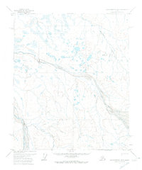
1971 · Sagavanirktok B-2
USGS Topo · 1:63,360
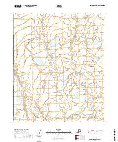
2017 · Sagavanirktok C-3 SE
USGS Topo · 1:25,000
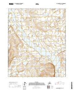
2017 · Sagavanirktok B-3 NE
USGS Topo · 1:25,000