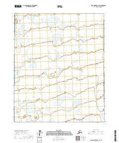
2017 Map of Sagavanirktok D-4 NE
USGS Topo · Published 2017About this map
The low-lying wetlands of the T8n R12e and T8n R13e regions define this arctic landscape within the North Slope Borough. Mapped in 2017, the terrain is dominated by a complex network of thaw lakes and ponds characteristic of the permafrost-rich environment north of the Brooks Range. The lack of named settlements or major infrastructure highlights the wild, undeveloped nature of these lands at this modern date. Surveyed boundaries such as T7n R12e and T6n R13e provide the primary framework for locating specific parcels in this portion of the Sagavanirktok quadrangle. While names are sparse on the ground, the intricate hydrography offers researchers a detailed view of the drainage patterns and hydrologic features that are critical to the ecology of the Alaskan north.
Find a feature on this map
6 named features on this map. Tap any name to fly to it.
Don’t see what you’re looking for? This feature index may not catch every label — zoom into the map to look around manually.
Map Details
Editions of this 2017 Sagavanirktok D-4 NE Map
This is the sole edition of this map. No revisions or reprints were ever made.
Other maps of this area

1951 · Beechey Point
USGS Topo · 1:250,000

1951 · Sagavanirktok D-5
USGS Topo · 1:250,000

1955 · Beechey Point
USGS Topo · 1:250,000

1955 · Beechey Point A-3
USGS Topo · 1:63,360

1955 · Beechey Point A-4
USGS Topo · 1:63,360

1955 · Sagavanirktok D-3
USGS Topo · 1:63,360

1955 · Sagavanirktok D-4
USGS Topo · 1:63,360

1956 · Sagavanirktok
USGS Topo · 1:250,000

1958 · Sagavanirktok
USGS Topo · 1:250,000

1960 · Beechey Point
USGS Topo · 1:250,000