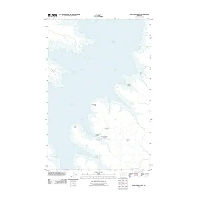
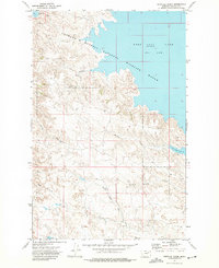
2011 Map of Sage Creek Point
USGS Topo · Published 2011About this map
Fort Peck Lake dominates this portion of Valley County, Montana, its intricate shoreline creating a complex landscape of inlets and points. The high prairie is dissected by numerous drainages, notably Ingles Coulee and the branching Embleton Coulee system, which feed into the primary reservoir. Prominent terrestrial features like Sage Creek Point and Grave Point extend into the water, while inland landmarks such as Chilkoot Pass and the Don McDonald Dam reflect local names and early water management efforts. The transition from the rugged coulees to the expansive waters of Sage Creek Bay and Gilbert Creek Bay defines the character of this region, providing a detailed look at the geography of the northern Missouri River breaks.
Find a feature on this map
15 named features on this map. Tap any name to fly to it.
Don’t see what you’re looking for? This feature index may not catch every label — zoom into the map to look around manually.
Map Details
Editions of this 2011 Sage Creek Point Map
This is the sole edition of this map. No revisions or reprints were ever made.
Other maps of this area

1954 · Jordan
USGS Topo · 1:250,000

1956 · Jordan
USGS Topo · 1:250,000

1958 · Jordan
USGS Topo · 1:250,000

1958 · Lewis Reservoir
USGS Topo · 1:24,000

1958 · Sage Creek Point
USGS Topo · 1:24,000
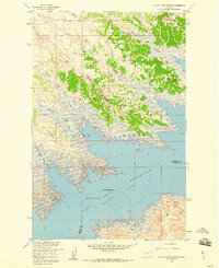
1958 · Seventh Point Buttes
USGS Topo · 1:24,000
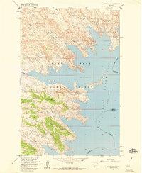
1958 · Skunk Coulee
USGS Topo · 1:24,000

1964 · Jordan
USGS Topo · 1:250,000
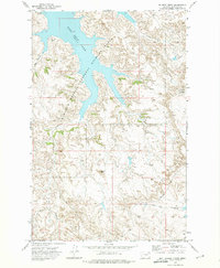
1972 · Gilbert Creek
USGS Topo · 1:24,000
1972 · Norville Creek
USGS Topo · 1:24,000