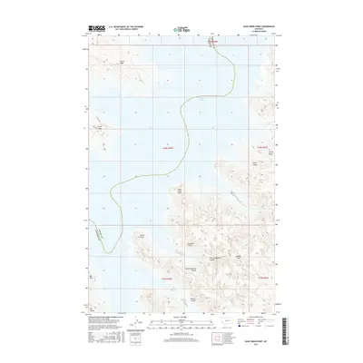
2017 Map of Sage Creek Point
USGS Topo · Published 2017About this map
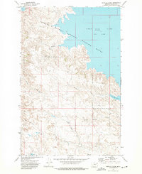
Fort Peck Lake dominates the upper half of this landscape, its intricate shoreline carving into the high plains of northeastern Montana. The boundary between Valley County and Garfield County bisects the water and terrain, marking a division through a region defined by dramatic breaks and coulees. Deeply incised drainage patterns characterize the southern portion of the map, where Embleton Coulee, North Embleton Coulee, and South Embleton Coulee channel runoff toward the Missouri River basin. High points like Sage Creek Point and Grave Point provide topographic relief above the lake's fingers, while Chilkoot Pass suggests a historic route through the broken ground. The only significant road infrastructure shown is Pines Rd, which follows the spine of Fifth Ridge, reflecting the sparse and specialized land use in this part of the state.
Find a feature on this map
22 named features on this map. Tap any name to fly to it.
Don’t see what you’re looking for? This feature index may not catch every label — zoom into the map to look around manually.
Map Details
Editions of this 2017 Sage Creek Point Map
This is the sole edition of this map. No revisions or reprints were ever made.
Other maps of this area

1954 · Jordan
USGS Topo · 1:250,000

1956 · Jordan
USGS Topo · 1:250,000

1958 · Jordan
USGS Topo · 1:250,000

1958 · Lewis Reservoir
USGS Topo · 1:24,000

1958 · Sage Creek Point
USGS Topo · 1:24,000
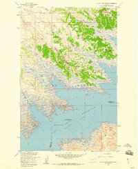
1958 · Seventh Point Buttes
USGS Topo · 1:24,000
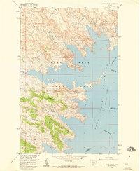
1958 · Skunk Coulee
USGS Topo · 1:24,000

1964 · Jordan
USGS Topo · 1:250,000
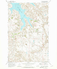
1972 · Gilbert Creek
USGS Topo · 1:24,000
1972 · Norville Creek
USGS Topo · 1:24,000