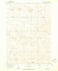
1964 Map of Sage Junction NE
USGS Topo · Published 1966About this map
Big Grassy Butte and its surrounding volcanic features dominate this mid-century topographic study of the high desert along the Fremont and Jefferson County line. The landscape is defined by distinct cinder cones and ridges, including Little Grassy Butte and the uniquely named Sheepherder Monument Butte. While the terrain appears sparsely populated, the presence of numerous wells across the plains suggests a reliance on groundwater for livestock in this arid environment. The map details a network of primitive transportation, primarily consisting of a Jeep Trail that winds through the volcanic elevations, providing a clear picture of the land's utility before more modern infrastructure arrived in this part of eastern Idaho.
Find a feature on this map
9 named features on this map. Tap any name to fly to it.
Don’t see what you’re looking for? This feature index may not catch every label — zoom into the map to look around manually.
Map Details
Editions of this 1964 Sage Junction NE Map
2 editions found
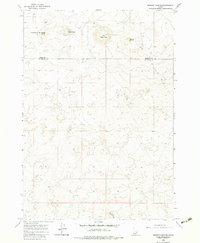
Other maps of this area
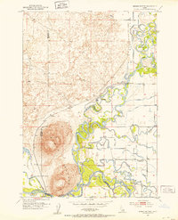
1951 · Menan Buttes
USGS Topo · 1:24,000

1951 · Plano
USGS Topo · 1:24,000

1955 · Dubois
USGS Topo · 1:250,000

1955 · Idaho Falls
USGS Topo · 1:250,000

1955 · Ashton
USGS Topo · 1:250,000

1955 · Driggs
USGS Topo · 1:250,000

1958 · Driggs
USGS Topo · 1:250,000

1958 · Dubois
USGS Topo · 1:250,000

1958 · Idaho Falls
USGS Topo · 1:250,000

1958 · Ashton
USGS Topo · 1:250,000