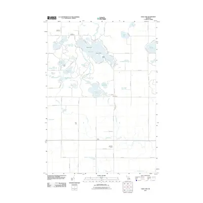
2011 Map of Sage Lake
USGS Topo · Published 2011About this map
Sage Lake serves as the central hub of this Ogemaw County landscape, characterized by its irregular shoreline and prominent landforms like Zerons Island, Middle Island, and Happy Island. The area reflects a mix of recreation and resource extraction, with the Logan Gas Field positioned west of Nester Creek and leisure destinations such as the Greenbriar Golf Course and Chief Okemus Camp scattered throughout the lakelands.
Find a feature on this map
80 named features on this map. Tap any name to fly to it.
Don’t see what you’re looking for? This feature index may not catch every label — zoom into the map to look around manually.
Map Details
Editions of this 2011 Sage Lake Map
This is the sole edition of this map. No revisions or reprints were ever made.
Other maps of this area

1954 · Traverse City
USGS Topo · 1:250,000

1954 · Tawas City
USGS Topo · 1:250,000

1958 · Traverse City
USGS Topo · 1:250,000

1958 · Tawas City
USGS Topo · 1:250,000

1965 · Selkirk
USGS Topo · 1:24,000

1965 · Rose City
USGS Topo · 1:24,000

1968 · Hale
USGS Topo · 1:24,000

1968 · Prescott
USGS Topo · 1:24,000

1968 · Whittemore
USGS Topo · 1:24,000

1968 · Sage Lake
USGS Topo · 1:24,000