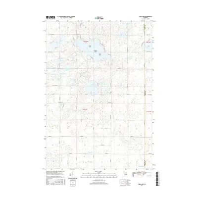
2017 Map of Sage Lake
USGS Topo · Published 2017About this map
Sage Lake dominates this portion of Logan Township, characterized by its intricate shoreline and prominent landforms such as Zerons Island, Middle Island, and Happy Island. The landscape is a dense network of water bodies, ranging from the larger Big Norway Lake and Laird Lake to smaller basins like Kirty Lake and Arrowhead Lake. This 2017 survey reveals a region defined by its hydrography, where the Au Gres River and creeks like Nester Cr and Whitney Cr drain the surrounding wetlands and woodlands.
Find a feature on this map
80 named features on this map. Tap any name to fly to it.
Don’t see what you’re looking for? This feature index may not catch every label — zoom into the map to look around manually.
Map Details
Editions of this 2017 Sage Lake Map
This is the sole edition of this map. No revisions or reprints were ever made.
Other maps of this area

1954 · Traverse City
USGS Topo · 1:250,000

1954 · Tawas City
USGS Topo · 1:250,000

1958 · Traverse City
USGS Topo · 1:250,000

1958 · Tawas City
USGS Topo · 1:250,000

1965 · Selkirk
USGS Topo · 1:24,000

1965 · Rose City
USGS Topo · 1:24,000

1968 · Hale
USGS Topo · 1:24,000

1968 · Prescott
USGS Topo · 1:24,000

1968 · Whittemore
USGS Topo · 1:24,000

1968 · Sage Lake
USGS Topo · 1:24,000