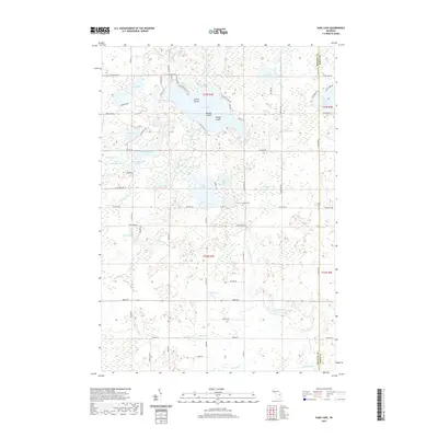
2019 Map of Sage Lake
USGS Topo · Published 2019About this map
Sage Lake dominates the upper-central portion of this 2019 survey, characterized by its irregular shoreline and prominent landforms including Zerons Island, Middle Island, and Happy Island. This region of Logan Township is defined by a dense network of glacial lakes and wetlands, connected by watercourses such as the Au Gres River and Nester Cr. The landscape transitions from these significant water bodies in the north to a series of smaller, dispersed lakes like East Stylus Lake, Fish Lake, and Big Norway Lake. Cultural landmarks are scattered throughout this lake-heavy terrain, including the Logan Cem located near the center of the quadrangle. The road network, including Co Hwy F 26 and Sage Lake Rd, provides access to the various waterfronts, reflecting the area's development around its natural water resources. Local historians can trace the paths of Whitney Cr and Porterfield Cr as they flow through the southern timber and marshlands.
Find a feature on this map
80 named features on this map. Tap any name to fly to it.
Don’t see what you’re looking for? This feature index may not catch every label — zoom into the map to look around manually.
Map Details
Editions of this 2019 Sage Lake Map
This is the sole edition of this map. No revisions or reprints were ever made.
Other maps of this area

1954 · Traverse City
USGS Topo · 1:250,000

1954 · Tawas City
USGS Topo · 1:250,000

1958 · Traverse City
USGS Topo · 1:250,000

1958 · Tawas City
USGS Topo · 1:250,000

1965 · Selkirk
USGS Topo · 1:24,000

1965 · Rose City
USGS Topo · 1:24,000

1968 · Hale
USGS Topo · 1:24,000

1968 · Prescott
USGS Topo · 1:24,000

1968 · Whittemore
USGS Topo · 1:24,000

1968 · Sage Lake
USGS Topo · 1:24,000