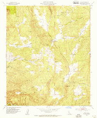
1954 Map of Sage
USGS Topo · Published 1956About this map
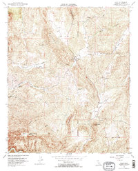
Sage sits at the junction of upland valleys and rugged ridges in this mid-century portrait of Riverside County. The settlement character is defined by isolated ranching and resource management, anchored by a Fire Control Station and the San Ignacio School. Small-scale water infrastructure like the Adobe Spr and numerous Reservoirs indicate the vital importance of water management in this arid landscape. The survey also captures human history in quieter ways, noting Graves near the main road and several Mines and Prospects tucked into the hills.
Find a feature on this map
31 named features on this map. Tap any name to fly to it.
Don’t see what you’re looking for? This feature index may not catch every label — zoom into the map to look around manually.
Map Details
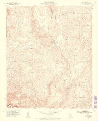
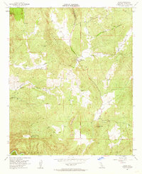
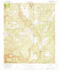
Editions of this 1954 Sage Map
5 editions found
Other maps of this area

1901 · Southern California Sheet No. 1
USGS Topo · 1:250,000

1901 · San Jacinto
USGS Topo · 1:125,000

1901 · Elsinore
USGS Topo · 1:125,000

1901 · San Luis Rey
USGS Topo · 1:125,000

1903 · Ramona
USGS Topo · 1:125,000

1904 · Southern California Sheet No. 2
USGS Topo · 1:250,000

1904 · Southern California Sheet No. 1
USGS Topo · 1:250,000

1939 · Palomar Mountain
USGS Topo · 1:62,500

1942 · Temecula
USGS Topo · 1:62,500

1942 · Hemet
USGS Topo · 1:62,500