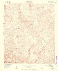
1954 Map of Sage
USGS Topo · Published 1956About this map
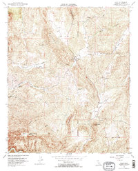
Sage serves as the focal point for this interior Riverside County landscape, where the rugged topography of the Black Hills and Magee Hills meets agricultural valleys. The community at Sage is anchored by a Fire Control Station and Graves cemetery, reflecting the area's frontier-style development in the mid-1950s. To the south, Oak Mountain dominates the skyline above the winding course of Temecula Creek. The mapping reveals a sparse rural infrastructure characterized by scattered windmills and isolated civic sites like the San Ignacio School. Transportation follows natural contours, with Benton Road traversing the Tucalota Valley, while various Mines and prospects along Rocky Ridge point to the persistent search for mineral wealth in these uplands. This survey documents the transition from undeveloped hillsides to a network of family-held ranches and small settlements defined by their proximity to intermittent springs and water tanks.
Find a feature on this map
32 named features on this map. Tap any name to fly to it.
Don’t see what you’re looking for? This feature index may not catch every label — zoom into the map to look around manually.
Map Details
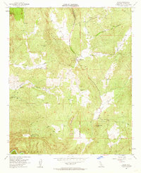
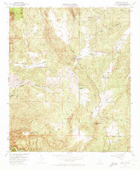
Editions of this 1954 Sage Map
5 editions found
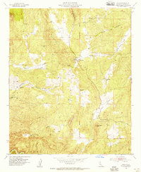
Other maps of this area

1901 · Southern California Sheet No. 1
USGS Topo · 1:250,000

1901 · San Jacinto
USGS Topo · 1:125,000

1901 · Elsinore
USGS Topo · 1:125,000

1901 · San Luis Rey
USGS Topo · 1:125,000

1903 · Ramona
USGS Topo · 1:125,000

1904 · Southern California Sheet No. 2
USGS Topo · 1:250,000

1904 · Southern California Sheet No. 1
USGS Topo · 1:250,000

1939 · Palomar Mountain
USGS Topo · 1:62,500

1942 · Temecula
USGS Topo · 1:62,500

1942 · Hemet
USGS Topo · 1:62,500