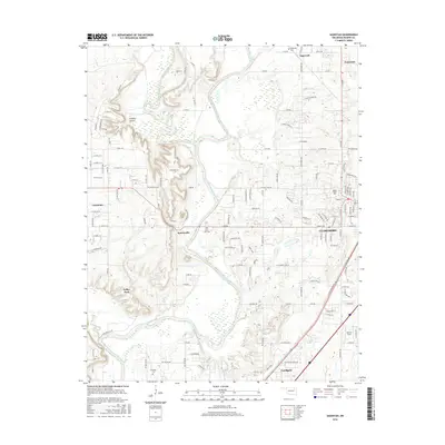
2016 Map of Sageeyah
USGS Topo · Published 2016About this map
The Verdigris River and Caney River converge in this Rogers County landscape, creating a complex network of waterways that has long dictated the layout of local infrastructure. To the east, the city of Claremore serves as a major regional hub, anchored by the campus of Rogers State Univ and the aviation facilities at Barcus Field. The map reveals a transition from the dense street grids of Claremore and Verdigris to the smaller, scattered settlements of Keetonville, Valley Park, and Sageeyah.
Find a feature on this map
146 named features on this map. Tap any name to fly to it.
Don’t see what you’re looking for? This feature index may not catch every label — zoom into the map to look around manually.
Map Details
Editions of this 2016 Sageeyah Map
This is the sole edition of this map. No revisions or reprints were ever made.
Other maps of this area

1901 · Claremore
USGS Topo · 1:125,000

1914 · Claremore
USGS Topo · 1:125,000

1916 · Claremore
USGS Topo · 1:125,000

1954 · Tulsa
USGS Topo · 1:250,000

1955 · Mingo
USGS Topo · 1:24,000

1956 · Collinsville
USGS Topo · 1:24,000

1958 · Tulsa
USGS Topo · 1:250,000

1959 · Collinsville NE
USGS Topo · 1:24,000

1963 · Tulsa
USGS Topo · 1:250,000
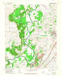
1963 · Sageeyah
USGS Topo · 1:24,000