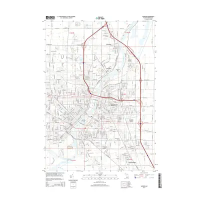
1919 Map of Saginaw
USGS Topo · Published 1950About this map
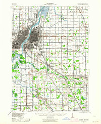
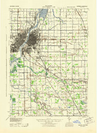
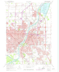
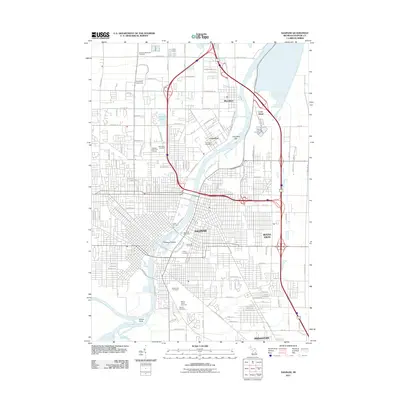
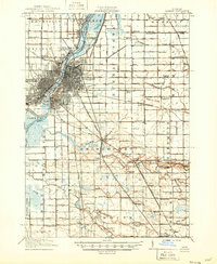
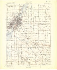
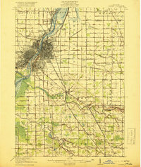
The Saginaw riverfront and its industrial corridors define this region during the height of its rail and river era. The Saginaw River serves as the central artery, flanked by the Michigan Central and Pere Marquette railroads which connect the urban core of Saginaw West Side to outlying industrial and agricultural pockets like Zilwaukee and Carrollton. In the northeast, the Whatcheer Mine points to the area's coal extraction history, while the rural townships are densely populated with family-named schools such as Jewett School and Tadish School. To the southeast, the Cass River winds through Bridgeport, marking a transition from the dense street grids of the city to the expansive farm plots and specialized settlements like Frankentrost. The detailed river network, including the Tittabawassee River and Shiawassee River confluence, highlights the hydraulic significance of the Saginaw Basin for transit and timber transport.
Find a feature on this map
95 named features on this map. Tap any name to fly to it.
Don’t see what you’re looking for? This feature index may not catch every label — zoom into the map to look around manually.
Map Details
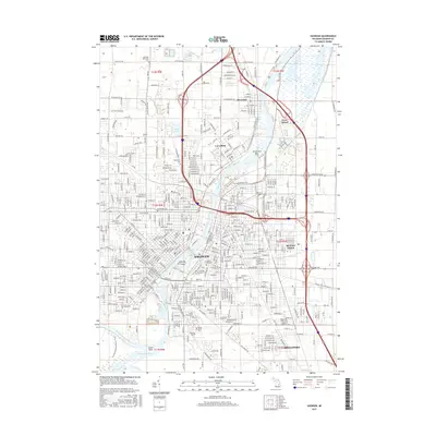
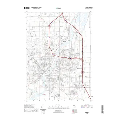
Editions of this 1919 Saginaw Map
3 editions found
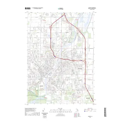
Historical Maps of Saginaw Through Time
9 maps found