
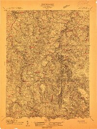
1912 Map of Sago
USGS Topo · Published 1912About this map
Buckhannon and its southern neighboring settlements are captured here during a period of industrial expansion into the West Virginia hills. The Baltimore and Ohio (Pickens Branch) railroad winds south along the Buckhannon River, serving a series of lumber and rail stops such as Sago, Alton, and Alexander. This topography is defined by narrow creek valleys and numerous named runs, reflecting the importance of water access for early mills like Ours Mill.
Find a feature on this map
129 named features on this map. Tap any name to fly to it.
Don’t see what you’re looking for? This feature index may not catch every label — zoom into the map to look around manually.
Map Details
Editions of this 1912 Sago Map
4 editions found
Other maps of this area

1886 · St. George
USGS Topo · 1:125,000

1889 · Beverly
USGS Topo · 1:125,000

1891 · St. George
USGS Topo · 1:125,000

1892 · Beverly
USGS Topo · 1:125,000

1893 · Buckhannon
USGS Topo · 1:125,000

1896 · Buckhannon
USGS Topo · 1:125,000

1897 · Buckhannon
USGS Topo · 1:125,000

1904 · Philippi
USGS Topo · 1:62,500

1904 · Weston
USGS Topo · 1:62,500

1907 · Belington
USGS Topo · 1:62,500