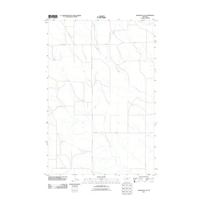
2011 Map of Sahara Hill SE
USGS Topo · Published 2011About this map
Cameron Creek winds across this rural section of Musselshell County, defining the drainage patterns in an area primarily shaped by ranching and section-line roads. The landscape is structured by a grid of named routes that reflect the homesteading history and family legacies of the region. Notable corridors include E East Red Hill Rd and Homestead Rd, which provide access to the vast interior of the Montana plains. The presence of Womans Pocket Rd in the southern portion of the sheet points to local geological features or landmarks recognized by early residents. This survey by the U.S. Geological Survey captures the specialized transportation network, from Emery Rd to Middle Rd, required to navigate this expansive prairie environment in the early twenty-first century.
Find a feature on this map
8 named features on this map. Tap any name to fly to it.
Don’t see what you’re looking for? This feature index may not catch every label — zoom into the map to look around manually.
Map Details
Editions of this 2011 Sahara Hill SE Map
This is the sole edition of this map. No revisions or reprints were ever made.
Other maps of this area

1889 · Big Snowy Mountain
USGS Topo · 1:250,000

1893 · Big Snowy Mountain
USGS Topo · 1:250,000

1954 · Roundup
USGS Topo · 1:250,000

1958 · Roundup
USGS Topo · 1:250,000

1979 · Roundup
USGS Topo · 1:100,000

1979 · Lavina NW
USGS Topo · 1:24,000

1986 · Devils Hole Lake
USGS Topo · 1:24,000

1986 · Patterson Canyon
USGS Topo · 1:24,000

1986 · Emory School
USGS Topo · 1:24,000

1986 · Cushman NW
USGS Topo · 1:24,000