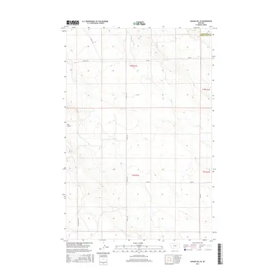
2017 Map of Sahara Hill SE
USGS Topo · Published 2017About this map
Sahara Hill rises above the high plains of Central Montana, marking a landscape defined by its network of watercourses and isolated ranch roads. The drainage of Cameron Cr meanders across the eastern half of the terrain, while the distinctive Twin Coulee cuts through the western sections. This 2017 survey shows a region where the human imprint is sparse, characterized largely by long-distance thoroughfares such as E Red Hill Rd and Womans Pocket Rd that follow the natural topography. The boundary between Musselshell County and Golden Valley County is clearly delineated in the northeast, providing a precise reference for those researching land ownership or regional geography in this part of the Big Sky Country. The map serves as a detailed record of the township and range system, marking out the vast open spaces of t10n r21e and t9n r21e during the early 21st century.
Find a feature on this map
14 named features on this map. Tap any name to fly to it.
Don’t see what you’re looking for? This feature index may not catch every label — zoom into the map to look around manually.
Map Details
Editions of this 2017 Sahara Hill SE Map
This is the sole edition of this map. No revisions or reprints were ever made.
Other maps of this area

1889 · Big Snowy Mountain
USGS Topo · 1:250,000

1893 · Big Snowy Mountain
USGS Topo · 1:250,000

1954 · Roundup
USGS Topo · 1:250,000

1958 · Roundup
USGS Topo · 1:250,000

1979 · Roundup
USGS Topo · 1:100,000

1979 · Lavina NW
USGS Topo · 1:24,000

1986 · Devils Hole Lake
USGS Topo · 1:24,000

1986 · Patterson Canyon
USGS Topo · 1:24,000

1986 · Emory School
USGS Topo · 1:24,000

1986 · Cushman NW
USGS Topo · 1:24,000