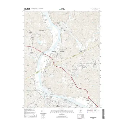
2014 Map of Saint Albans
USGS Topo · Published 2014About this map
The Kanawha River and Coal River confluence anchors this 2014 study of the industrial and residential corridors northwest of Charleston. The landscape is defined by the historic industrial footprint of Nitro, which stretches along the eastern bank of the Kanawha, while St. Albans serves as a major hub to the south. Transportation infrastructure is prominent, featuring the CSX railroad and several named crossings like the Richard Dick Henderson Bridge and the Donald Leg Memorial Bridge.
Find a feature on this map
179 named features on this map. Tap any name to fly to it.
Don’t see what you’re looking for? This feature index may not catch every label — zoom into the map to look around manually.
Map Details
Editions of this 2014 Saint Albans Map
This is the sole edition of this map. No revisions or reprints were ever made.
Other maps of this area

1899 · Charleston
USGS Topo · 1:125,000

1906 · Kenna
USGS Topo · 1:62,500

1906 · Winfield
USGS Topo · 1:62,500

1907 · Kenna
USGS Topo · 1:62,500

1908 · Winfield
USGS Topo · 1:62,500

1909 · Charleston
USGS Topo · 1:62,500

1909 · Saint Albans
USGS Topo · 1:62,500

1931 · Saint Albans
USGS Topo · 1:62,500

1931 · Charleston
USGS Topo · 1:62,500

1933 · Saint Albans
USGS Topo · 1:62,500