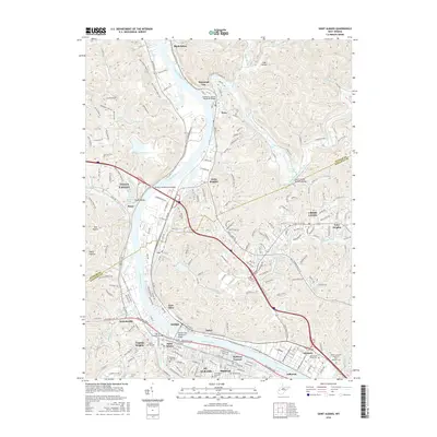
2016 Map of Saint Albans
USGS Topo · Published 2016About this map
The Kanawha River serves as the central artery for this industrial and residential corridor, anchoring a network of bridge crossings including the Joseph M. Gatens Memorial Bridge and the Donald Leg Memorial Bridge. The landscape transitions from the dense urban layouts of St. Albans and Nitro to the suburban sprawl of Cross Lanes and the higher elevations of Tyler Heights.
Find a feature on this map
214 named features on this map. Tap any name to fly to it.
Don’t see what you’re looking for? This feature index may not catch every label — zoom into the map to look around manually.
Map Details
Editions of this 2016 Saint Albans Map
This is the sole edition of this map. No revisions or reprints were ever made.
Other maps of this area

1899 · Charleston
USGS Topo · 1:125,000

1906 · Kenna
USGS Topo · 1:62,500

1906 · Winfield
USGS Topo · 1:62,500

1907 · Kenna
USGS Topo · 1:62,500

1908 · Winfield
USGS Topo · 1:62,500

1909 · Charleston
USGS Topo · 1:62,500

1909 · Saint Albans
USGS Topo · 1:62,500

1931 · Saint Albans
USGS Topo · 1:62,500

1931 · Charleston
USGS Topo · 1:62,500

1933 · Saint Albans
USGS Topo · 1:62,500