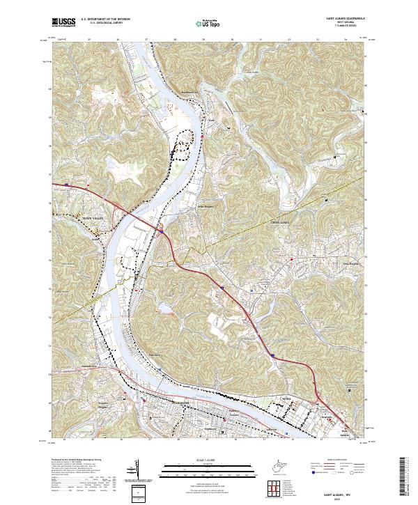
2023 Map of Saint Albans
USGS Topo · Published 2023About this map
The Kanawha River serves as the central artery for this region of West Virginia, where industrial heritage and residential expansion meet at the confluence with the Coal River. The city of St. Albans anchors the southern bank, characterized by a dense grid of streets like Kanwha Ave and significant local landmarks including College Hill Cem and Bangor Cem. Across the water, the industrial legacy of Nitro and the academic presence of West Virginia State University at Institute define the eastern landscape. The terrain transitions into a series of hollows and ridges, such as Coal Hollow and Kirk Hollow, reflecting the typical Appalachian topography that has influenced local settlement patterns for generations. To the north, the community of Poca sits near the mouth of the Pocatalico River, while historical sites like the Donel C Kinnard Memorial State Veterans Cem offer important points of interest for genealogists and local historians.
Find a feature on this map
71 named features on this map. Tap any name to fly to it.
Don’t see what you’re looking for? This feature index may not catch every label — zoom into the map to look around manually.
Map Details
Editions of this 2023 Saint Albans Map
This is the sole edition of this map. No revisions or reprints were ever made.
Other maps of this area

1899 · Charleston
USGS Topo · 1:125,000

1906 · Kenna
USGS Topo · 1:62,500

1906 · Winfield
USGS Topo · 1:62,500

1907 · Kenna
USGS Topo · 1:62,500

1908 · Winfield
USGS Topo · 1:62,500

1909 · Charleston
USGS Topo · 1:62,500

1909 · Saint Albans
USGS Topo · 1:62,500

1931 · Saint Albans
USGS Topo · 1:62,500

1931 · Charleston
USGS Topo · 1:62,500

1933 · Saint Albans
USGS Topo · 1:62,500