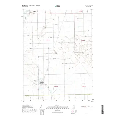
2018 Map of Saint Anne
USGS Topo · Published 2018About this map
The village of Saint Anne serves as the focal point of this region south of the Kankakee River, where the grid of rural roads meets the historic corridors of the Pennsylvania and New York railroads. The town's layout is defined by named streets such as W Station St and E Chiniquy St, reflecting a dense community core surrounded by agricultural lands. For those tracing local heritage, the area contains a significant concentration of burial grounds, including the Saint Anne Catholic Cem, Old Baptist Cem, and Oakwood Cem, which are scattered between the central settlement and the outlying hamlet of Wichert. The landscape is naturally drained by Spring Cr and Little Beaver Cr, with Cote Lake appearing just north of the village, providing a clear view of the hydrological features that influenced the early development and transit patterns of this Kankakee County territory.
Find a feature on this map
54 named features on this map. Tap any name to fly to it.
Don’t see what you’re looking for? This feature index may not catch every label — zoom into the map to look around manually.
Map Details
Editions of this 2018 Saint Anne Map
This is the sole edition of this map. No revisions or reprints were ever made.
Other maps of this area

1922 · Momence
USGS Topo · 1:62,500

1922 · Kankakee
USGS Topo · 1:62,500

1924 · Momence
USGS Topo · 1:62,500

1924 · Kankakee
USGS Topo · 1:62,500

1935 · Watseka
USGS Topo · 1:48,000

1939 · Watseka
USGS Topo · 1:62,500

1944 · Gilman
USGS Topo · 1:62,500

1946 · Gilman
USGS Topo · 1:62,500

1953 · Chicago
USGS Topo · 1:250,000

1953 · Danville
USGS Topo · 1:250,000