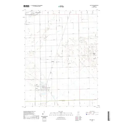
2021 Map of Saint Anne
USGS Topo · Published 2021About this map
The village of St. Anne and the nearby community of Wichert anchor this portion of the Kankakee County landscape, where the flat agricultural terrain is subdivided by a precise grid of county roads. In the southern part of the map, the Kankakee Co Iroquois Co line marks the jurisdictional boundary near the banks of Little Beaver Cr. The area is notably dense with localized burial sites, including the Saint Anne Catholic Cem and the Saint Anne Township Cem, reflecting a long-settled community with deep genealogical roots.
Find a feature on this map
90 named features on this map. Tap any name to fly to it.
Don’t see what you’re looking for? This feature index may not catch every label — zoom into the map to look around manually.
Map Details
Editions of this 2021 Saint Anne Map
This is the sole edition of this map. No revisions or reprints were ever made.
Other maps of this area

1922 · Momence
USGS Topo · 1:62,500

1922 · Kankakee
USGS Topo · 1:62,500

1924 · Momence
USGS Topo · 1:62,500

1924 · Kankakee
USGS Topo · 1:62,500

1935 · Watseka
USGS Topo · 1:48,000

1939 · Watseka
USGS Topo · 1:62,500

1944 · Gilman
USGS Topo · 1:62,500

1946 · Gilman
USGS Topo · 1:62,500

1953 · Chicago
USGS Topo · 1:250,000

1953 · Danville
USGS Topo · 1:250,000