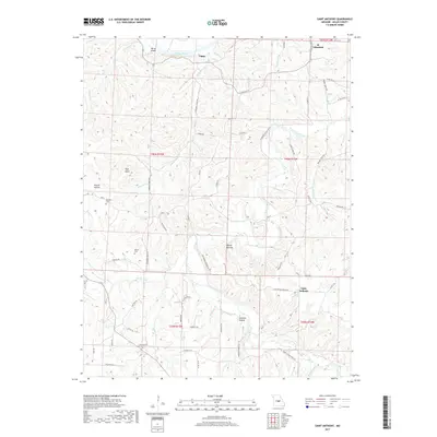
2017 Map of Saint Anthony
USGS Topo · Published 2017About this map
Tavern Creek meanders through the heart of Miller County, Missouri, carving a path through the deeply dissected ridges of the northern Ozarks. In this 2017 survey, the settlements of St. Elizabeth and Saint Anthony anchor the eastern and southern portions of the landscape, while the hamlet of Capps sits near a prominent bend of the Osage River. The topographic detail reveals a rural network of ridges and hollows, including Heltzell Hollow and Prairie Hollow, which have shaped the local road system for generations. Genealogists can identify family heritage sites at the Ramsey Cem and Wilson Cem, while landmarks like High Point and the House Mounds reflect both the natural elevations and human history of the region. The transition from river bottomlands near Berry Island to upland plateaus is clearly visible in the tight contouring around the Barren Fork and Humphrey Cr.
Find a feature on this map
65 named features on this map. Tap any name to fly to it.
Don’t see what you’re looking for? This feature index may not catch every label — zoom into the map to look around manually.
Map Details
Editions of this 2017 Saint Anthony Map
This is the sole edition of this map. No revisions or reprints were ever made.
Other maps of this area

1888 · Tuscumbia
USGS Topo · 1:125,000

1894 · Tuscumbia
USGS Topo · 1:125,000

1933 · Iberia
USGS Topo · 1:62,500

1937 · Iberia
USGS Topo · 1:62,500

1947 · Jefferson City
USGS Topo · 1:250,000

1948 · Meta
USGS Topo · 1:62,500
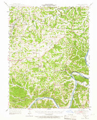
1948 · Eugene
USGS Topo · 1:62,500

1948 · Tavern
USGS Topo · 1:62,500
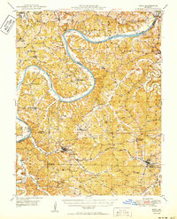
1950 · Meta
USGS Topo · 1:62,500
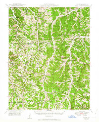
1950 · Tavern
USGS Topo · 1:62,500