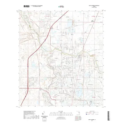
2021 Map of Saint Catherine
USGS Topo · Published 2021About this map
The Withlacoochee River and its various tributaries, including the Little Withlacoochee River and the Withlacoochee River South Trail, dominate this landscape at the border of Sumter and Hernando counties. The settlement of Saint Catherine sits near the northeastern corner, while Croom and Rerdell mark the central and eastern corridors. This area is characterized by significant karst topography, evidenced by numerous depressions and aquatic features such as Corbett Sink, McKenie Lime Sink, and the curiously named Devils Slack Tub.
Find a feature on this map
236 named features on this map. Tap any name to fly to it.
Don’t see what you’re looking for? This feature index may not catch every label — zoom into the map to look around manually.
Map Details
Editions of this 2021 Saint Catherine Map
This is the sole edition of this map. No revisions or reprints were ever made.
Other maps of this area

1954 · Spring Lake
USGS Topo · 1:24,000

1954 · Nobleton
USGS Topo · 1:24,000

1954 · Brooksville SE
USGS Topo · 1:24,000

1955 · Plant City
USGS Topo · 1:250,000

1958 · Plant City
USGS Topo · 1:250,000

1958 · Webster
USGS Topo · 1:24,000

1958 · Bushnell
USGS Topo · 1:24,000

1958 · Wahoo
USGS Topo · 1:24,000

1958 · Saint Catherine
USGS Topo · 1:24,000

1959 · Plant City
USGS Topo · 1:250,000