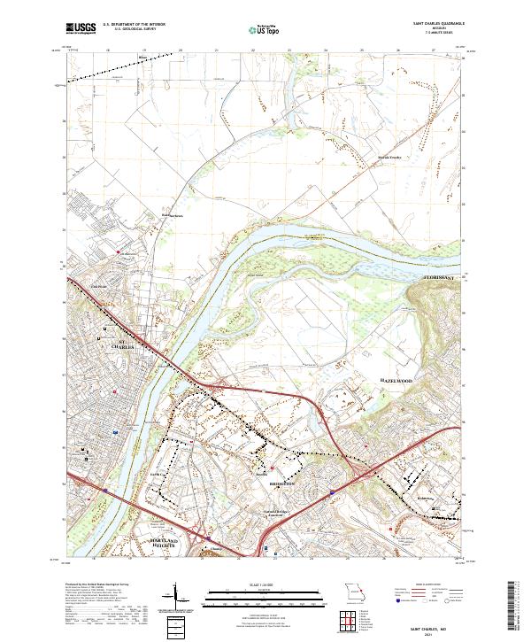
2021 Map of Saint Charles
USGS Topo · Published 2021About this map
St. Charles and its historic core serve as the anchor for this 2021 study of the Missouri River valley where St. Charles Co meets St. Louis Co. The landscape reveals a complex intersection of early riverfront development and modern infrastructure, centered on the Missouri River corridor. The river's broad floodplains are dominated by Bryan Island and the wetlands of Marais Croche, while the river itself is spanned by the historic Wabash Bridge and the Electric Bridge.
Find a feature on this map
203 named features on this map. Tap any name to fly to it.
Don’t see what you’re looking for? This feature index may not catch every label — zoom into the map to look around manually.
Map Details
Editions of this 2021 Saint Charles Map
This is the sole edition of this map. No revisions or reprints were ever made.
Other maps of this area

1903 · O'Fallon
USGS Topo · 1:125,000

1924 · Robertson
USGS Topo · 1:24,000

1927 · St. Charles
USGS Topo · 1:62,500

1931 · Brussels
USGS Topo · 1:62,500

1932 · Manchester NE
USGS Topo · 1:24,000

1933 · Creve Coeur
USGS Topo · 1:24,000

1933 · Clayton
USGS Topo · 1:24,000

1933 · Saint Charles
USGS Topo · 1:62,500

1935 · Florissant
USGS Topo · 1:24,000

1939 · Brussels
USGS Topo · 1:62,500