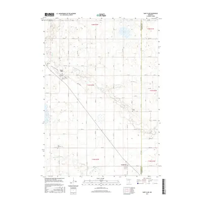
2016 Map of Saint Clair
USGS Topo · Published 2016About this map
Saint Clair serves as a primary settlement node in this 2016 survey, situated near the northwestern corner of the quadrangle. The landscape is defined by the agricultural grid typical of Southern Minnesota, punctuated by several significant water bodies and local landmarks. To the north, Indian Lake occupies a glacial depression, while Rice Lake is found further south, marking the lower elevations of the region.
Find a feature on this map
5 named features on this map. Tap any name to fly to it.
Don’t see what you’re looking for? This feature index may not catch every label — zoom into the map to look around manually.
Map Details
Editions of this 2016 Saint Clair Map
This is the sole edition of this map. No revisions or reprints were ever made.
Other maps of this area

1950 · Mankato East
USGS Topo · 1:62,500

1951 · Mankato East
USGS Topo · 1:62,500

1953 · Saint Paul
USGS Topo · 1:250,000

1954 · Mason City
USGS Topo · 1:250,000

1957 · Mason City
USGS Topo · 1:250,000

1958 · Mason City
USGS Topo · 1:250,000

1959 · Saint Paul
USGS Topo · 1:250,000

1966 · Janesville
USGS Topo · 1:24,000

1966 · Elysian
USGS Topo · 1:24,000

1967 · Waldorf
USGS Topo · 1:24,000