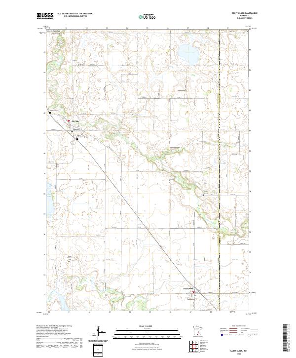
2022 Map of Saint Clair
USGS Topo · Published 2022About this map
St. Clair and Pemberton anchor this corner of Southern Minnesota, where the drainage of the Le Sueur River and the Little Cobb River creates a distinct pattern of wetlands and water bodies. The landscape is marked by several significant burial sites, including McPherson Cem and Saint Johns Cem near the northern settlement and Medo-McPherson Cem further south, providing essential data for genealogical research. The region's aviation history is represented by the Eagles Nest Aerodrome near the northern boundary. Transportation is defined by a dense grid of township and county roads, such as Co Rd 15 and Macintosh Rd, which negotiate the terrain between Indian Lake and Rice Lake. The map illustrates the rural character of the Blue Earth and Waseca county line, where the local economy and settlement patterns remain tied to the river valleys.
Find a feature on this map
49 named features on this map. Tap any name to fly to it.
Don’t see what you’re looking for? This feature index may not catch every label — zoom into the map to look around manually.
Map Details
Editions of this 2022 Saint Clair Map
This is the sole edition of this map. No revisions or reprints were ever made.
Other maps of this area

1950 · Mankato East
USGS Topo · 1:62,500

1951 · Mankato East
USGS Topo · 1:62,500

1953 · Saint Paul
USGS Topo · 1:250,000

1954 · Mason City
USGS Topo · 1:250,000

1957 · Mason City
USGS Topo · 1:250,000

1958 · Mason City
USGS Topo · 1:250,000

1959 · Saint Paul
USGS Topo · 1:250,000

1966 · Janesville
USGS Topo · 1:24,000

1966 · Elysian
USGS Topo · 1:24,000

1967 · Waldorf
USGS Topo · 1:24,000