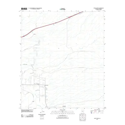
2011 Map of Saint David
USGS Topo · Published 2011About this map
The San Pedro River corridor serves as the central anchor for this part of Cochise County, where the settlement of Saint David sits along its eastern banks. The landscape transitions from the river valley into the expansive Lonesome Valley to the west and the rugged drainages of Stronghold Canyon West to the southeast. Transportation infrastructure is a prominent feature, with the Sibyl Interchange connecting local routes to the regional highway system, while the CCA Tower stands as a modern landmark north of the Fenner area.
Find a feature on this map
40 named features on this map. Tap any name to fly to it.
Don’t see what you’re looking for? This feature index may not catch every label — zoom into the map to look around manually.
Map Details
Editions of this 2011 Saint David Map
This is the sole edition of this map. No revisions or reprints were ever made.
Other maps of this area

1915 · Benson
USGS Topo · 1:125,000

1922 · St. David
USGS Topo · 1:62,500

1926 · Whetstone
USGS Topo · 1:62,500

1943 · Benson
USGS Topo · 1:125,000

1943 · Dragoon
USGS Topo · 1:62,500

1945 · Happy Valley
USGS Topo · 1:62,500

1956 · Nogales
USGS Topo · 1:250,000

1956 · Tucson
USGS Topo · 1:250,000

1958 · Nogales
USGS Topo · 1:250,000

1958 · Tucson
USGS Topo · 1:250,000