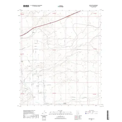
2018 Map of Saint David
USGS Topo · Published 2018About this map
The San Pedro River corridor serves as the primary artery for settlement and agricultural development in this corner of Cochise County. The community of St. David is the central hub, supported by a system of irrigation infrastructure including the Saint David Ditch and the Pomerene Canal. These waterworks reflect a long-standing history of desert farming along the river bottomlands. Further south, the settlement of Curtiss sits near the river banks, while the landscape to the north and east transitions into the drainage systems of Dragoon Wash and Sheep Wash. In the western reaches, the topography rises toward Stronghold Canyon West, showing the transition from riparian valley to the desert foothills. The map documents a blend of established riverfront communities and the newer residential developments evidenced by the network of named local roads reaching into Lonesome Valley and the area near Fenner.
Find a feature on this map
60 named features on this map. Tap any name to fly to it.
Don’t see what you’re looking for? This feature index may not catch every label — zoom into the map to look around manually.
Map Details
Editions of this 2018 Saint David Map
This is the sole edition of this map. No revisions or reprints were ever made.
Other maps of this area

1915 · Benson
USGS Topo · 1:125,000

1922 · St. David
USGS Topo · 1:62,500

1926 · Whetstone
USGS Topo · 1:62,500

1943 · Benson
USGS Topo · 1:125,000

1943 · Dragoon
USGS Topo · 1:62,500

1945 · Happy Valley
USGS Topo · 1:62,500

1956 · Nogales
USGS Topo · 1:250,000

1956 · Tucson
USGS Topo · 1:250,000

1958 · Nogales
USGS Topo · 1:250,000

1958 · Tucson
USGS Topo · 1:250,000