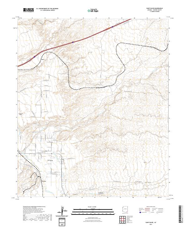
2021 Map of Saint David
USGS Topo · Published 2021About this map
The San Pedro River corridor defines the geography of this Cochise County region, supporting a network of historic water management systems including the Pomerene Canal and the Saint David Ditch. This 2021 survey shows the agricultural and residential landscape of St. David, where the settlement pattern follows the fertile valley floor between the high desert washes. The local hydrology is marked by several significant drainage features such as Dragoon Wash, Sheep Wash, and Slavin Wash, which cut through the terrain toward the river. To the south, the landscape transitions toward Stronghold Canyon West, a name reflecting the area's geological and cultural significance. Small communities and named areas like Curtiss, Fenner, and Lonesome Valley are connected by a grid of rural roads, illustrating the modern rural development of this desert valley south of the interstate corridor.
Find a feature on this map
61 named features on this map. Tap any name to fly to it.
Don’t see what you’re looking for? This feature index may not catch every label — zoom into the map to look around manually.
Map Details
Editions of this 2021 Saint David Map
This is the sole edition of this map. No revisions or reprints were ever made.
Other maps of this area

1915 · Benson
USGS Topo · 1:125,000

1922 · St. David
USGS Topo · 1:62,500

1926 · Whetstone
USGS Topo · 1:62,500

1943 · Benson
USGS Topo · 1:125,000

1943 · Dragoon
USGS Topo · 1:62,500

1945 · Happy Valley
USGS Topo · 1:62,500

1956 · Nogales
USGS Topo · 1:250,000

1956 · Tucson
USGS Topo · 1:250,000

1958 · Nogales
USGS Topo · 1:250,000

1958 · Tucson
USGS Topo · 1:250,000