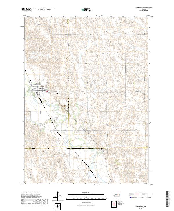
2021 Map of Saint Edward
USGS Topo · Published 2021About this map
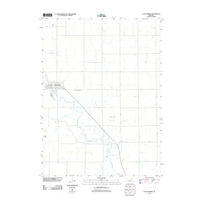
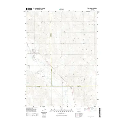
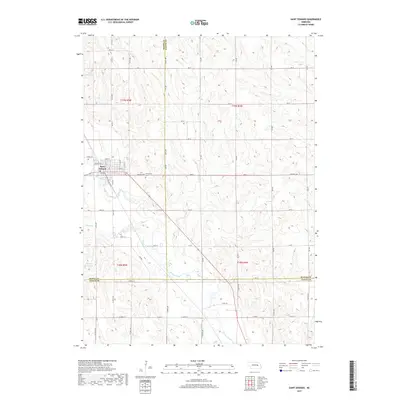
St. Edward serves as the primary hub of this agricultural landscape at the intersection of Beaver Creek and several early thoroughfares. The town's grid is clearly defined by local streets such as Lafayette St and Washington St, while its community infrastructure is anchored by the Po and the nearby Evergreen Cem situated just south along Central Hwy.
Find a feature on this map
40 named features on this map. Tap any name to fly to it.
Don’t see what you’re looking for? This feature index may not catch every label — zoom into the map to look around manually.
Map Details
Editions of this 2021 Saint Edward Map
This is the sole edition of this map. No revisions or reprints were ever made.
Historical Maps of Saint Edward Through Time
14 maps found
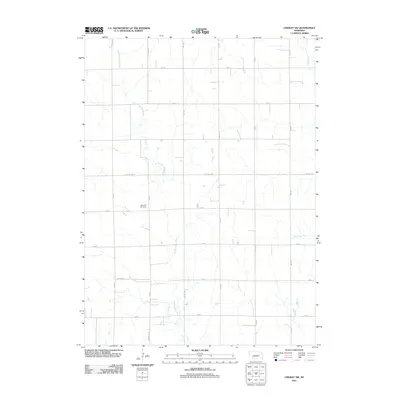
1966 Humphrey SE
Platte County, NE
1966 Lindsay SW
Platte County, NE
2011 Humphrey SE
Platte County, NE
2011 Lindsay SW
Platte County, NE
2011 Saint Edward
Platte County, NE
2014 Humphrey SE
Platte County, NE
2014 Lindsay SW
Platte County, NE
2014 Saint Edward
Platte County, NE
2017 Humphrey SE
Platte County, NE
2017 Lindsay SW
Platte County, NE
2017 Saint Edward
Platte County, NE
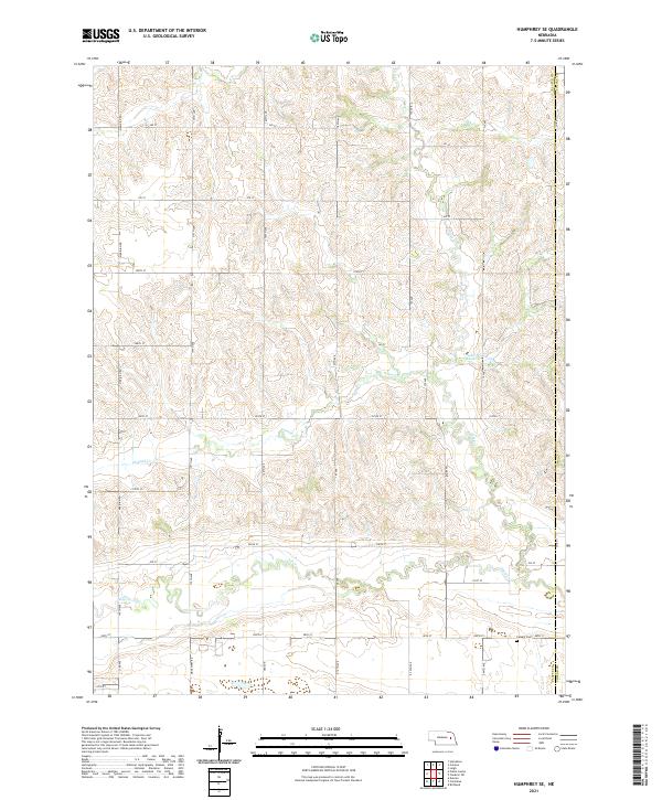
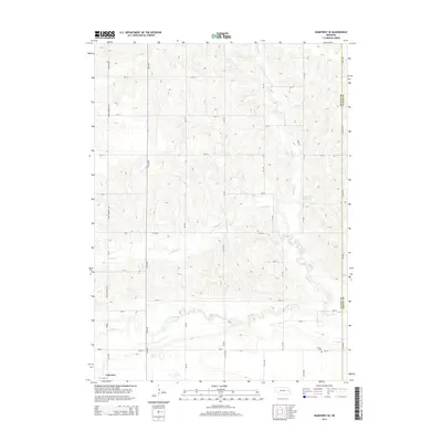
2021 Humphrey SE
Platte County, NE
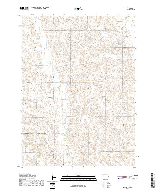
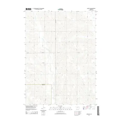
2021 Lindsay SW
Platte County, NE
2021 Saint Edward
Platte County, NE