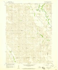
1958 Map of St. Edward SW
USGS Topo · Published 1960About this map
Beaver Creek winds through this central Nebraska landscape, defining the topography south of Boone and west of St Edward. The map documents a strictly organized rural district during the late 1950s, where the educational system is represented by a dense network of country schoolhouses, including School No 5, School No 66, School No 32, School No 26, and School No 54. This concentration of local landmarks provides a clear look at the dispersed settlement patterns typical of the era's agricultural communities.
Find a feature on this map
21 named features on this map. Tap any name to fly to it.
Don’t see what you’re looking for? This feature index may not catch every label — zoom into the map to look around manually.
Map Details
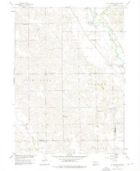
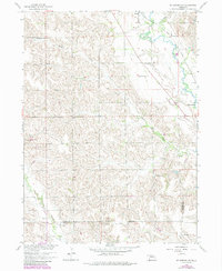
Editions of this 1958 St. Edward SW Map
3 editions found
Other maps of this area

1896 · Stromsburg
USGS Topo · 1:125,000

1899 · St. Paul
USGS Topo · 1:125,000

1954 · Albion West
USGS Topo · 1:24,000

1954 · Belgrade
USGS Topo · 1:24,000

1954 · Cedar Rapids SE
USGS Topo · 1:24,000

1955 · Broken Bow
USGS Topo · 1:250,000

1955 · Fremont
USGS Topo · 1:250,000

1956 · Broken Bow
USGS Topo · 1:250,000

1957 · Fremont
USGS Topo · 1:250,000

1958 · Fremont
USGS Topo · 1:250,000