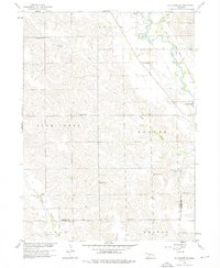
1958 Map of St. Edward SW
USGS Topo · Published 1976About this map
The Union Pacific railroad corridor anchors the northeastern corner of this Nebraska landscape, where it follows the valley of Beaver Creek. The topography is dominated by the dissecting drainages of Plum Creek and Bogus Creek, which carve through the plains of Boone and Nance counties. A notable cultural feature is the Old Indian Boundary, which cuts across the southern sections of the map, providing a glimpse into the early territorial organization of the region.
Find a feature on this map
19 named features on this map. Tap any name to fly to it.
Don’t see what you’re looking for? This feature index may not catch every label — zoom into the map to look around manually.
Map Details
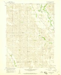
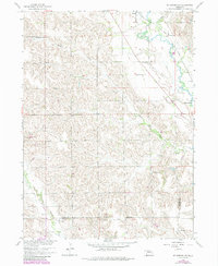
Editions of this 1958 St. Edward SW Map
3 editions found
Other maps of this area

1896 · Stromsburg
USGS Topo · 1:125,000

1899 · St. Paul
USGS Topo · 1:125,000

1954 · Albion West
USGS Topo · 1:24,000

1954 · Belgrade
USGS Topo · 1:24,000

1954 · Cedar Rapids SE
USGS Topo · 1:24,000

1955 · Broken Bow
USGS Topo · 1:250,000

1955 · Fremont
USGS Topo · 1:250,000

1956 · Broken Bow
USGS Topo · 1:250,000

1957 · Fremont
USGS Topo · 1:250,000

1958 · Fremont
USGS Topo · 1:250,000