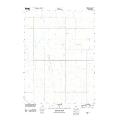
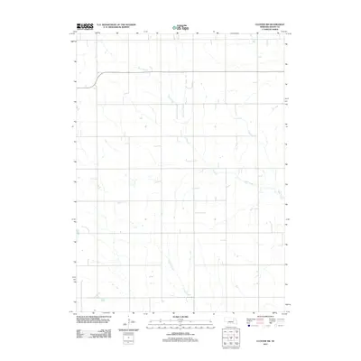
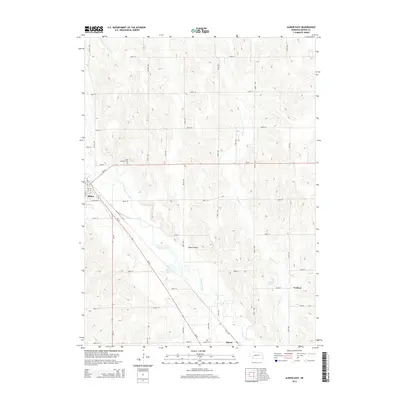
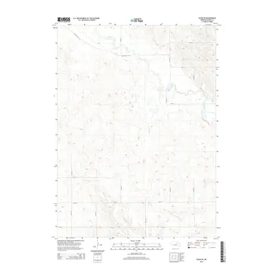
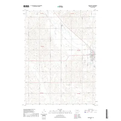
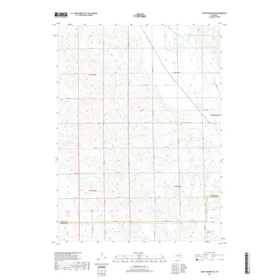
1958 Map of St. Edward SW
USGS Topo · Published 1985About this map
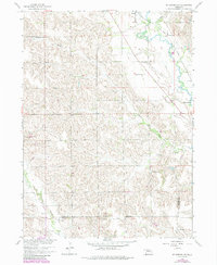
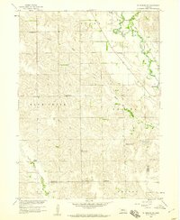
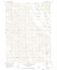
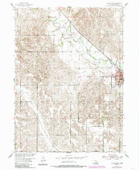
Beaver Creek and the Union Pacific railroad corridor define the eastern edge of this Nebraska landscape, where the town of St Edward sits near the junction of several drainage systems. The map documents a significant cultural transition, marking the Old Indian Boundary as it cuts across the southern portion of the sheet between Boone Co and Nance Co. This surveying line remains a permanent fixture on the land even as agricultural settlement progressed around it.
Find a feature on this map
14 named features on this map. Tap any name to fly to it.
Don’t see what you’re looking for? This feature index may not catch every label — zoom into the map to look around manually.
Map Details
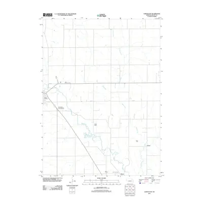
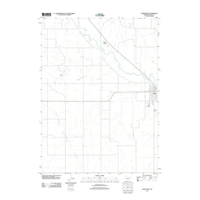
Editions of this 1958 St. Edward SW Map
3 editions found
Historical Maps of Nance County Through Time
35 maps found
1954 Akron
Boone County, NE
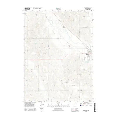
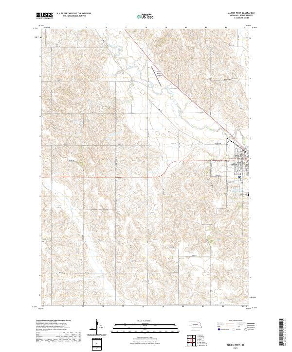
1954 Albion West
Boone County, NE
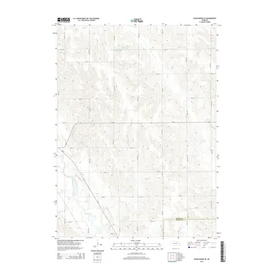
1954 Cedar Rapids SE
Boone County, NE

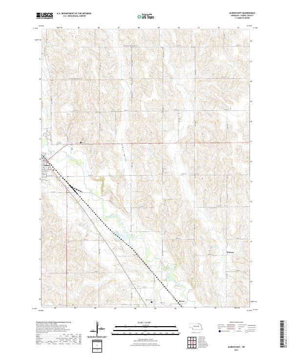
1958 Albion East
Boone County, NE
1958 St. Edward SW
Boone County, NE
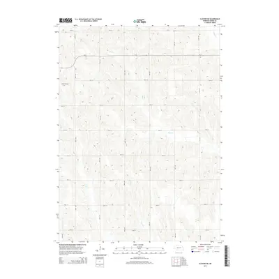
1963 Closter SW
Boone County, NE
1963 Elgin SW
Boone County, NE
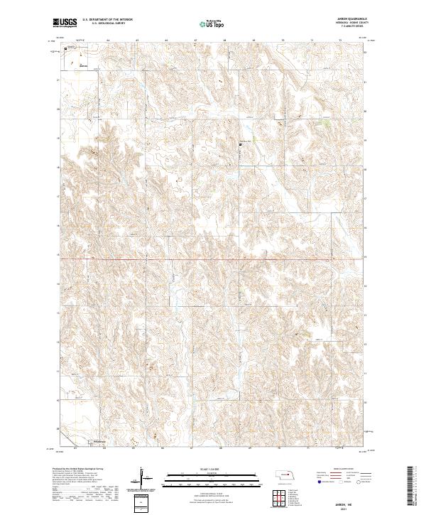
2011 Akron
Boone County, NE
2011 Albion East
Boone County, NE
2011 Albion West
Boone County, NE
2011 Cedar Rapids SE
Boone County, NE
2011 Closter SW
Boone County, NE
2011 Elgin SW
Boone County, NE
2011 Saint Edward SW
Boone County, NE
2014 Akron
Boone County, NE
2014 Albion East
Boone County, NE
2014 Albion West
Boone County, NE
2014 Cedar Rapids SE
Boone County, NE
2014 Closter SW
Boone County, NE
2014 Elgin SW
Boone County, NE
2014 Saint Edward SW
Boone County, NE
2017 Akron
Boone County, NE
2017 Albion East
Boone County, NE
2017 Albion West
Boone County, NE
2017 Cedar Rapids SE
Boone County, NE
2017 Closter SW
Boone County, NE
2017 Elgin SW
Boone County, NE
2017 Saint Edward SW
Boone County, NE
2021 Akron
Boone County, NE
2021 Albion East
Boone County, NE
2021 Albion West
Boone County, NE
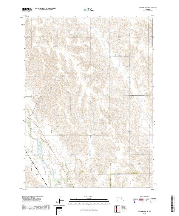
2021 Cedar Rapids SE
Boone County, NE
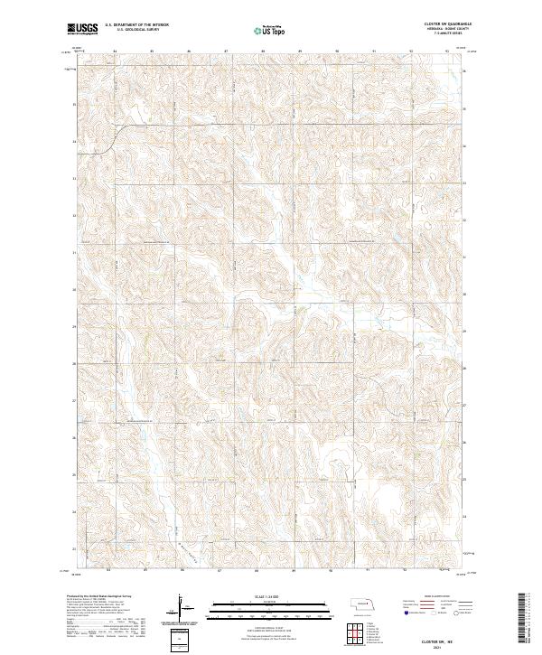
2021 Closter SW
Boone County, NE
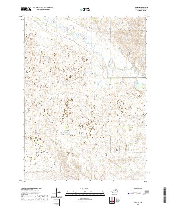
2021 Elgin SW
Boone County, NE
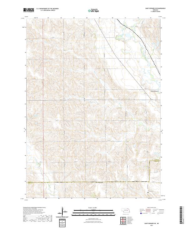
2021 Saint Edward SW
Boone County, NE