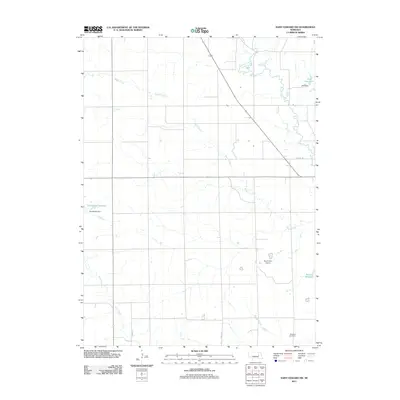
2011 Map of Saint Edward SW
USGS Topo · Published 2011About this map
Skeedee Creek and the associated Skeedee Cemetery anchor the southeastern portion of this Nebraska landscape, where the terrain is defined by a dense network of watercourses and agricultural infrastructure. Numerous small-scale water management projects, such as the Goodwater Reservoir with its Goodwater Dam and the Jasa Reservoir, illustrate the reliance on managed irrigation in this part of Boone County. The presence of the Mount Echo Airport suggests the continued importance of regional aviation in maintaining rural connectivity.
Find a feature on this map
14 named features on this map. Tap any name to fly to it.
Don’t see what you’re looking for? This feature index may not catch every label — zoom into the map to look around manually.
Map Details
Editions of this 2011 Saint Edward SW Map
This is the sole edition of this map. No revisions or reprints were ever made.
Other maps of this area

1896 · Stromsburg
USGS Topo · 1:125,000

1899 · St. Paul
USGS Topo · 1:125,000

1954 · Albion West
USGS Topo · 1:24,000

1954 · Belgrade
USGS Topo · 1:24,000

1954 · Cedar Rapids SE
USGS Topo · 1:24,000

1955 · Broken Bow
USGS Topo · 1:250,000

1955 · Fremont
USGS Topo · 1:250,000

1956 · Broken Bow
USGS Topo · 1:250,000

1957 · Fremont
USGS Topo · 1:250,000

1958 · Fremont
USGS Topo · 1:250,000