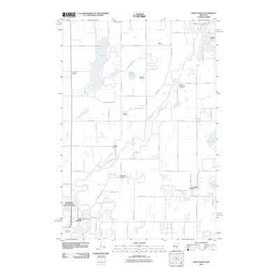
2010 Map of Saint Francis
USGS Topo · Published 2010About this map
The Rum River meanders through this landscape, serving as a central geographic anchor for the communities of Saint Francis and Bethel. This 2010 survey illustrates a region defined by its numerous water bodies and small-scale infrastructure, including the Marget Lake Dam and the Benson Wildlife Dam. Residential patterns are visible in the layout of the Woodhaven Manufactured Home Community and Woodlyn Court, while the local social fabric is traced through landmarks like the Saint Francis Post Office and Bethel Post Office.
Find a feature on this map
45 named features on this map. Tap any name to fly to it.
Don’t see what you’re looking for? This feature index may not catch every label — zoom into the map to look around manually.
Map Details
Editions of this 2010 Saint Francis Map
This is the sole edition of this map. No revisions or reprints were ever made.
Other maps of this area

1916 · St. Francis
USGS Topo · 1:62,500

1919 · St. Francis
USGS Topo · 1:62,500

1953 · Stillwater
USGS Topo · 1:250,000

1955 · Isanti
USGS Topo · 1:62,500

1955 · Stillwater
USGS Topo · 1:250,000

1958 · Stillwater
USGS Topo · 1:250,000

1961 · Bradford
USGS Topo · 1:24,000

1961 · Cambridge
USGS Topo · 1:62,500

1961 · Wyanett
USGS Topo · 1:24,000

1961 · Dalbo
USGS Topo · 1:62,500