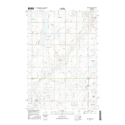
2016 Map of Saint Francis
USGS Topo · Published 2016About this map
The Rum River meanders south through this section of central Minnesota, serving as a primary geographic corridor for the settlements of Saint Francis and Bethel. This 2016 survey highlights a landscape defined by its glacial heritage, dotted with numerous water bodies including Lake Francis, Long Lake, and Marget Lake. The rural character of the region is evident in the dense network of county roads and the preservation of local history through several established burial grounds such as Stanford Cem, Strike Cem, and the Long Lake Lutheran Cem.
Find a feature on this map
87 named features on this map. Tap any name to fly to it.
Don’t see what you’re looking for? This feature index may not catch every label — zoom into the map to look around manually.
Map Details
Editions of this 2016 Saint Francis Map
This is the sole edition of this map. No revisions or reprints were ever made.
Other maps of this area

1916 · St. Francis
USGS Topo · 1:62,500

1919 · St. Francis
USGS Topo · 1:62,500

1953 · Stillwater
USGS Topo · 1:250,000

1955 · Isanti
USGS Topo · 1:62,500

1955 · Stillwater
USGS Topo · 1:250,000

1958 · Stillwater
USGS Topo · 1:250,000

1961 · Bradford
USGS Topo · 1:24,000

1961 · Cambridge
USGS Topo · 1:62,500

1961 · Wyanett
USGS Topo · 1:24,000

1961 · Dalbo
USGS Topo · 1:62,500