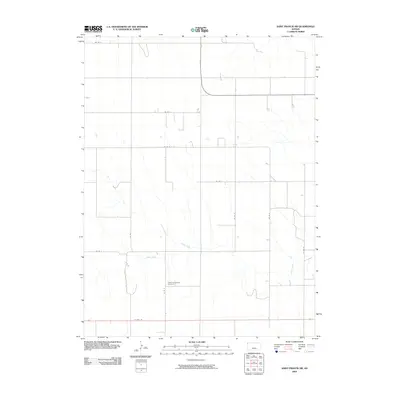
2009 Map of Saint Francis SW
USGS Topo · Published 2009About this map
Salem Evangelical Cemetery serves as a significant local landmark in this corner of Cheyenne County, reflecting the deep-rooted rural settlement patterns of the High Plains. The landscape is primarily defined by a geometric grid of section roads, including Co Rd V and Co Rd 5, which facilitate access across the expansive agricultural terrain. The natural drainage of Cherry Creek cuts across this systematic survey, providing a rare serpentine element to the otherwise linear topography. In the southern portion of the map, Us Hwy 36 provides the primary east-west corridor, connecting this remote region to the wider state network. This 2009 survey highlights the enduring intersection of early township planning and the persistent natural watercourses that have dictated land use for generations.
Find a feature on this map
13 named features on this map. Tap any name to fly to it.
Don’t see what you’re looking for? This feature index may not catch every label — zoom into the map to look around manually.
Map Details
Editions of this 2009 Saint Francis SW Map
This is the sole edition of this map. No revisions or reprints were ever made.
Other maps of this area

1942 · St. Francis
USGS Topo · 1:62,500

1943 · St. Francis
USGS Topo · 1:62,500

1950 · Bonny Reservoir
USGS Topo · 1:62,500

1951 · St Francis
USGS Topo · 1:62,500

1952 · St Francis 3
USGS Topo · 1:62,500

1954 · Limon
USGS Topo · 1:250,000

1954 · Goodland
USGS Topo · 1:250,000

1956 · Goodland
USGS Topo · 1:250,000

1957 · Limon
USGS Topo · 1:250,000

1957 · Goodland
USGS Topo · 1:250,000