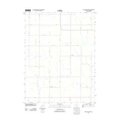
2012 Map of Saint Francis SW
USGS Topo · Published 2012About this map
Salem Lutheran Cem and Salem Evangelical Cem serve as enduring markers of the early community and genealogical history of this portion of Cheyenne County. The landscape is defined by the ephemeral path of Cherry Creek, which winds through the southern portion of the quadrangle, carving subtle drainage patterns across the High Plains. This 2012 survey illustrates a highly organized grid of rural section roads, including Road V and Road O, that facilitate the agricultural operations of northwestern Kansas. The regularity of these surveyed boundaries, from Road 4 to Road 10, highlights the enduring influence of the Public Land Survey System on the modern prairie landscape. While few structures are named, the presence of these distinct cemeteries alongside Co Hwy S provides a specific point of reference for researchers tracing family ties to this sparsely populated agricultural region.
Find a feature on this map
18 named features on this map. Tap any name to fly to it.
Don’t see what you’re looking for? This feature index may not catch every label — zoom into the map to look around manually.
Map Details
Editions of this 2012 Saint Francis SW Map
This is the sole edition of this map. No revisions or reprints were ever made.
Other maps of this area

1942 · St. Francis
USGS Topo · 1:62,500

1943 · St. Francis
USGS Topo · 1:62,500

1950 · Bonny Reservoir
USGS Topo · 1:62,500

1951 · St Francis
USGS Topo · 1:62,500

1952 · St Francis 3
USGS Topo · 1:62,500

1954 · Limon
USGS Topo · 1:250,000

1954 · Goodland
USGS Topo · 1:250,000

1956 · Goodland
USGS Topo · 1:250,000

1957 · Limon
USGS Topo · 1:250,000

1957 · Goodland
USGS Topo · 1:250,000