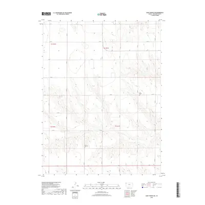
2018 Map of Saint Francis SW
USGS Topo · Published 2018About this map
High plains topography and section-line roads characterize this portion of Cheyenne County, where the landscape is defined by the ephemeral drainage of Cherry Cr. This rural expanse is marked by a legacy of early community settlement, anchored by the Salem Lutheran Cem and the Salem Evangelical Cem. These sites reflect the spiritual and social foundations of the agricultural families who established themselves in the townships of t2s r41w and t3s r41w. The meticulous grid of county routes, including Co RD R and Co RD 7, illustrates the enduring Public Land Survey System that carved the Kansas prairie into manageable homesteads. The map captures a quiet, traditional corner of the state, where the presence of historic cemeteries provides the primary connection to the generations of residents who once worked these fields.
Find a feature on this map
23 named features on this map. Tap any name to fly to it.
Don’t see what you’re looking for? This feature index may not catch every label — zoom into the map to look around manually.
Map Details
Editions of this 2018 Saint Francis SW Map
This is the sole edition of this map. No revisions or reprints were ever made.
Other maps of this area

1942 · St. Francis
USGS Topo · 1:62,500

1943 · St. Francis
USGS Topo · 1:62,500

1950 · Bonny Reservoir
USGS Topo · 1:62,500

1951 · St Francis
USGS Topo · 1:62,500

1952 · St Francis 3
USGS Topo · 1:62,500

1954 · Limon
USGS Topo · 1:250,000

1954 · Goodland
USGS Topo · 1:250,000

1956 · Goodland
USGS Topo · 1:250,000

1957 · Limon
USGS Topo · 1:250,000

1957 · Goodland
USGS Topo · 1:250,000