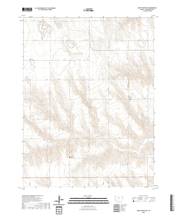
2022 Map of Saint Francis SW
USGS Topo · Published 2022About this map
Salem Evangelical Cem and Salem Lutheran Cem anchor the social and historical landscape of this Cheyenne County region. The terrain is defined by the winding course of Cherry Cr, which cuts through the high plains topography. A rigid network of section-line roads, including Co RD R and Co RD 7, organizes the rural landscape into a precise grid, reflecting the long-term impact of the Public Land Survey System on Kansas settlement patterns. This modern topographic record captures the area's agricultural character, where the vast open spaces between named watercourses are punctuated primarily by these established burial grounds and the intersections of county routes.
Find a feature on this map
23 named features on this map. Tap any name to fly to it.
Don’t see what you’re looking for? This feature index may not catch every label — zoom into the map to look around manually.
Map Details
Editions of this 2022 Saint Francis SW Map
This is the sole edition of this map. No revisions or reprints were ever made.
Other maps of this area

1942 · St. Francis
USGS Topo · 1:62,500

1943 · St. Francis
USGS Topo · 1:62,500

1950 · Bonny Reservoir
USGS Topo · 1:62,500

1951 · St Francis
USGS Topo · 1:62,500

1952 · St Francis 3
USGS Topo · 1:62,500

1954 · Limon
USGS Topo · 1:250,000

1954 · Goodland
USGS Topo · 1:250,000

1956 · Goodland
USGS Topo · 1:250,000

1957 · Limon
USGS Topo · 1:250,000

1957 · Goodland
USGS Topo · 1:250,000