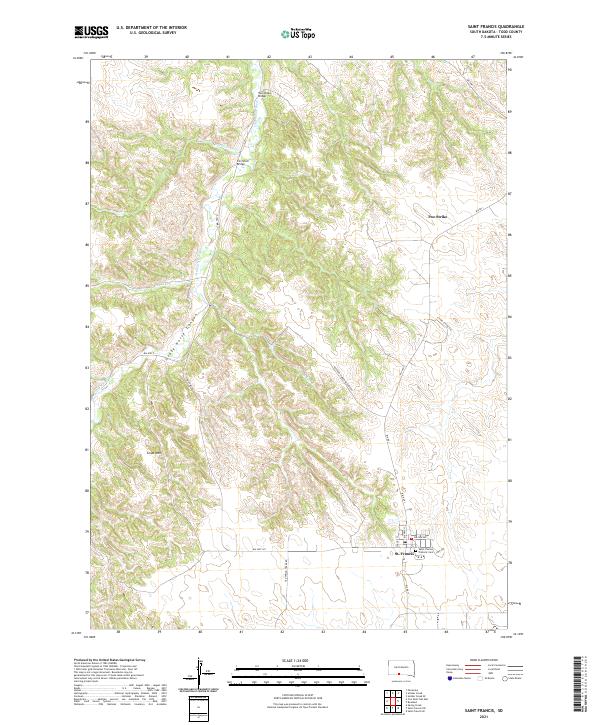
2021 Map of Saint Francis
USGS Topo · Published 2021About this map
St. Francis serves as the primary community in this portion of Todd County, located along the southern edge of the survey area near the Saint Charles Catholic Cem. The landscape is defined by the winding course of the Little White River, which carves through the terrain alongside dramatic features like Crazy Horse Canyon and the prominent height of Grass Mtn.
Find a feature on this map
31 named features on this map. Tap any name to fly to it.
Don’t see what you’re looking for? This feature index may not catch every label — zoom into the map to look around manually.
Map Details
Editions of this 2021 Saint Francis Map
This is the sole edition of this map. No revisions or reprints were ever made.
Other maps of this area

1955 · Martin
USGS Topo · 1:250,000

1958 · Martin
USGS Topo · 1:250,000

1969 · Soldier Creek
USGS Topo · 1:24,000

1969 · Parmelee
USGS Topo · 1:24,000

1969 · Iron Shell Flat East
USGS Topo · 1:24,000

1969 · Soldier Creek SE
USGS Topo · 1:24,000

1969 · Rosebud
USGS Topo · 1:24,000

1969 · Spring Creek
USGS Topo · 1:24,000

1969 · St. Francis SW
USGS Topo · 1:24,000
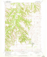
1969 · St. Francis
USGS Topo · 1:24,000
Featured Places
- Rosebud, SD
- Two Strike Segment, SD
- Grass Mountain Segment, SD
- Two Strike, Two Strike Segment
- St. Francis, St. Francis Segment