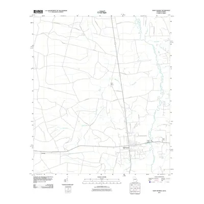
2011 Map of Saint George
USGS Topo · Published 2011About this map
Saint George serves as the primary hub of this corner of Charlton County, where the southern reaches of Georgia meet the Florida border along the winding Saint Marys River. The settlement pattern reflects a rural community connected by a network of regional roads like Old Crawford Rd and Stokes Rd, with the landscape defined by the drainage systems of Boone Creek and Mims Creek. Local history is anchored by several burial sites, including Saint George Cemetery, Boones Creek Cemetery, and Conner-Green Cemetery, which provide critical reference points for genealogical research. Crossings such as the Earnest A Bell Bridge and Bell Bridge highlight the historical importance of the river as both a boundary and a corridor for movement between the two states. Further west, the map identifies the small locality of Clarking, offering a detailed view of this timber and agricultural region as it appeared in the early 21st century.
Find a feature on this map
39 named features on this map. Tap any name to fly to it.
Don’t see what you’re looking for? This feature index may not catch every label — zoom into the map to look around manually.
Map Details
Editions of this 2011 Saint George Map
This is the sole edition of this map. No revisions or reprints were ever made.
Other maps of this area

1917 · Cambon
USGS Topo · 1:62,500

1917 · Macclenny
USGS Topo · 1:62,500

1917 · Hilliard
USGS Topo · 1:62,500

1918 · Moniac
USGS Topo · 1:62,500

1918 · Cambon
USGS Topo · 1:62,500

1918 · Macclenny
USGS Topo · 1:62,500

1919 · Hilliard
USGS Topo · 1:62,500

1942 · Moniac
USGS Topo · 1:62,500

1948 · Jacksonville
USGS Topo · 1:250,000

1954 · Valdosta
USGS Topo · 1:250,000