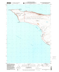
2001 Map of Saint George Island West
USGS Topo · Published 2002About this map
The western reaches of Saint George Island are documented here with dual English and Unangam Tunuu place names, reflecting the cultural heritage of the Pribilof Islands. This coastal landscape is defined by its wildlife habitats and maritime infrastructure at the start of the 21st century. The Zapadni Rookery dominates the southeastern shoreline, while St George Harbor and the adjacent St George Airport provide critical links to the remote archipelago. Inland, the terrain rises toward Maynard Hill and the High Bluffs, interspersed with landmarks like Atka Lake and the Quarry. Much of the territory is managed by the Fish and Wildlife Service, emphasizing the island's role as a biological sanctuary within the Bering Sea.
Find a feature on this map
23 named features on this map. Tap any name to fly to it.
Don’t see what you’re looking for? This feature index may not catch every label — zoom into the map to look around manually.
Map Details
Editions of this 2001 Saint George Island West Map
This is the sole edition of this map. No revisions or reprints were ever made.
Other maps of this area
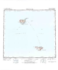
1948 · Pribilof Islands
USGS Topo · 1:250,000
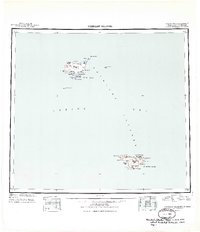
1949 · Pribilof Islands
USGS Topo · 1:250,000
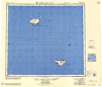
1958 · Pribilof Islands
USGS Topo · 1:250,000
1969 · Pribilof Islands
USGS Topo · 1:250,000
2001 · Saint George Island East
USGS Topo · 1:25,000
2020 · Pribilof Islands A-2 NW
USGS Topo · 1:25,000

2020 · Pribilof Islands A-2 SW
USGS Topo · 1:25,000

2020 · Pribilof Islands A-3 SE
USGS Topo · 1:25,000
2020 · Pribilof Islands A-3 NE
USGS Topo · 1:25,000