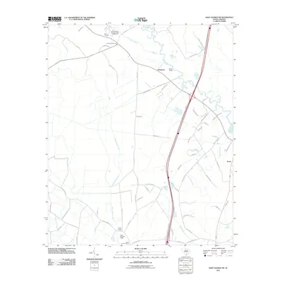
2011 Map of Saint George SW
USGS Topo · Published 2011About this map
The Edisto River meanders through this portion of South Carolina, defining a landscape of wetlands and timberland near Springtown. This modern survey illustrates a region where local geography is marked by historic burial grounds like Green Pond Cemetery, Spell Cemetery, and Mount Carmel Cemetery. The drainage patterns are intricate, with Brickhouse Branch and Jones Swamp Creek feeding toward the main river channel, crossed by Raysor Bridge.
Find a feature on this map
57 named features on this map. Tap any name to fly to it.
Don’t see what you’re looking for? This feature index may not catch every label — zoom into the map to look around manually.
Map Details
Editions of this 2011 Saint George SW Map
This is the sole edition of this map. No revisions or reprints were ever made.
Other maps of this area

1918 · Walterboro
USGS Topo · 1:62,500

1919 · Cummings
USGS Topo · 1:62,500

1919 · Lodge
USGS Topo · 1:62,500

1920 · Lodge
USGS Topo · 1:48,000

1920 · St. George
USGS Topo · 1:48,000

1921 · Lodge
USGS Topo · 1:62,500

1921 · St. George
USGS Topo · 1:62,500

1943 · Lodge
USGS Topo · 1:62,500

1943 · Orangeburg
USGS Topo · 1:125,000

1943 · Cummings
USGS Topo · 1:62,500