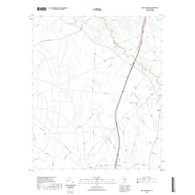
2020 Map of Saint George SW
USGS Topo · Published 2020About this map
The Edisto River snakes along the boundary between Dorchester and Colleton counties, its winding course crossed by the Raysor Bridge. This low-country landscape is defined by extensive wetlands and drainage systems, including the Jones Swamp Cr and Brickhouse Br. Small family and community landmarks provide vital anchors for local history, notably Green Pond Cem and Spell Cem in the northern reaches, and Mount Carmel Cem to the south. The settlement of Weeks occupies the eastern edge of the survey, situated near the headwaters of the Redbank Drain. Modern infrastructure, including a major interstate corridor and its frontage roads, cuts a straight line through the otherwise organic pattern of swamps and creeks like Allen Cr, reflecting the region's development as a transit corridor between rural outposts.
Find a feature on this map
58 named features on this map. Tap any name to fly to it.
Don’t see what you’re looking for? This feature index may not catch every label — zoom into the map to look around manually.
Map Details
Editions of this 2020 Saint George SW Map
This is the sole edition of this map. No revisions or reprints were ever made.
Other maps of this area

1918 · Walterboro
USGS Topo · 1:62,500

1919 · Cummings
USGS Topo · 1:62,500

1919 · Lodge
USGS Topo · 1:62,500

1920 · Lodge
USGS Topo · 1:48,000

1920 · St. George
USGS Topo · 1:48,000

1921 · Lodge
USGS Topo · 1:62,500

1921 · St. George
USGS Topo · 1:62,500

1943 · Lodge
USGS Topo · 1:62,500

1943 · Orangeburg
USGS Topo · 1:125,000

1943 · Cummings
USGS Topo · 1:62,500