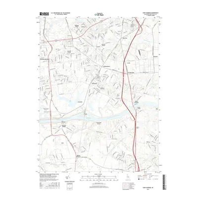
2016 Map of Saint Georges
USGS Topo · Published 2016About this map
The Chesapeake and Delaware Canal serves as the dominant industrial and geographical feature of this 2016 survey, cutting through the Delmarva Peninsula to connect major Atlantic waterways. This section of the Intracoastal Waterway is spanned by the Canal Bridge, facilitating a heavy infrastructure corridor that includes the Summit Airport and a dense network of transit routes like the S Dupont Pkwy. The landscape around the canal is a mixture of developed residential clusters like Glasgow Pines and Saint Georges alongside preserved recreational space at Lums Pond State Park.
Find a feature on this map
62 named features on this map. Tap any name to fly to it.
Don’t see what you’re looking for? This feature index may not catch every label — zoom into the map to look around manually.
Map Details
Editions of this 2016 Saint Georges Map
This is the sole edition of this map. No revisions or reprints were ever made.
Other maps of this area

1898 · Elkton
USGS Topo · 1:62,500

1899 · Dover
USGS Topo · 1:125,000

1900 · Elkton
USGS Topo · 1:62,500

1900 · Cecilton
USGS Topo · 1:62,500

1904 · Wilmington
USGS Topo · 1:62,500

1906 · Dover
USGS Topo · 1:125,000

1906 · Wilmington
USGS Topo · 1:62,500

1917 · Elkton
USGS Topo · 1:62,500

1919 · Wilmington
USGS Topo · 1:62,500

1920 · Dover
USGS Topo · 1:125,000
Featured Places
- Dragon Run Terrace Mobile Home Park, DE
- Hickory Woods, DE
- Melody Meadows II, DE
- Tybouts Corner, DE
- Belltown Woods, DE