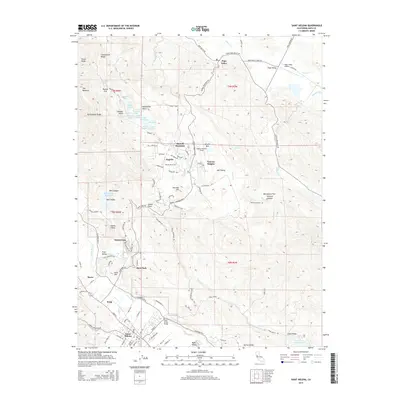
2015 Map of Saint Helena
USGS Topo · Published 2015About this map
Saint Helena and the surrounding Napa Valley wine country are meticulously detailed in this survey, showcasing a landscape where viticulture and educational institutions meet. The campus of Pacific Union Coll anchors the community of Angwin atop Howell Mountain, while the residential and medical enclave of Sanitarium sits just north of Deer Park. The topography is defined by the contrast between the fertile valley floor, where Krug and Barro are located, and the steep ridges of Candlestick Ridge and Rattlesnake Ridge. Notable landmarks like the Pope Street Bridge and Morris Cemetery provide specific points of interest for local history. To the east, the terrain descends into the drainage basins for Lake Hennessey and Bell Canyon Reservoir, highlighting the critical water management systems that support the region's agricultural and residential needs.
Find a feature on this map
148 named features on this map. Tap any name to fly to it.
Don’t see what you’re looking for? This feature index may not catch every label — zoom into the map to look around manually.
Map Details
Editions of this 2015 Saint Helena Map
This is the sole edition of this map. No revisions or reprints were ever made.
Other maps of this area

1902 · Napa
USGS Topo · 1:125,000

1916 · Santa Rosa
USGS Topo · 1:62,500

1927 · Calistoga
USGS Topo · 1:62,500

1942 · Sonoma
USGS Topo · 1:62,500

1942 · St. Helena
USGS Topo · 1:62,500

1943 · Calistoga
USGS Topo · 1:62,500

1944 · Santa Rosa
USGS Topo · 1:62,500

1945 · Calistoga
USGS Topo · 1:62,500

1945 · St. Helena
USGS Topo · 1:62,500

1947 · Santa Rosa
USGS Topo · 1:250,000